Les Gours (Les Gours)

- commune in Charente, France
- Country:

- Postal Code: 16140
- Coordinates: 45° 57' 42" N, 0° 4' 2" E


- GPS tracks (wikiloc): [Link]
- Area: 11.42 sq km
- Population: 115
- Wikipedia en: wiki(en)
- Wikipedia: wiki(fr)
- Wikidata storage: Wikidata: Q1415717
- Wikipedia Commons Category: [Link]
- Freebase ID: [/m/03mcbfr]
- GeoNames ID: Alt: [3000856]
- SIREN number: [211601554]
- BnF ID: [15248594h]
- INSEE municipality code: 16155
Shares border with regions:
Couture-d'Argenson
- commune in Deux-Sèvres, France
- Country:
- Postal Code: 79110
- Coordinates: 45° 59' 34" N, 0° 5' 3" E
- GPS tracks (wikiloc): [Link]
- Area: 24.16 sq km
- Population: 372
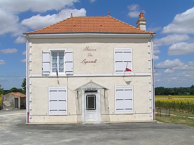

Lupsault
- commune in Charente, France
- Country:
- Postal Code: 16140
- Coordinates: 45° 56' 31" N, 0° 4' 30" E
- GPS tracks (wikiloc): [Link]
- Area: 11.47 sq km
- Population: 94


Saint-Fraigne
- commune in Charente, France
- Country:
- Postal Code: 16140
- Coordinates: 45° 57' 10" N, 0° 0' 39" E
- GPS tracks (wikiloc): [Link]
- Area: 32.1 sq km
- Population: 451
- Web site: [Link]


Chives
- commune in Charente-Maritime, France
- Country:
- Postal Code: 17510
- Coordinates: 45° 57' 29" N, 0° 7' 37" E
- GPS tracks (wikiloc): [Link]
- Area: 20.66 sq km
- Population: 339
- Web site: [Link]