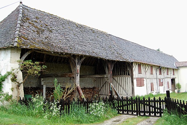
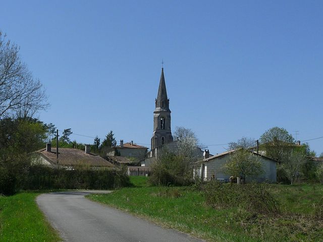
Les Peintures (Les Peintures)

- commune in Gironde, France
- Country:

- Postal Code: 33230
- Coordinates: 45° 4' 7" N, 0° 5' 52" E


- GPS tracks (wikiloc): [Link]
- Area: 13.13 sq km
- Population: 1577
- Web site: http://www.lespeintures.fr
- Wikipedia en: wiki(en)
- Wikipedia: wiki(fr)
- Wikidata storage: Wikidata: Q187577
- Wikipedia Commons Category: [Link]
- Freebase ID: [/m/03ns02k]
- GeoNames ID: Alt: [6455866]
- SIREN number: [213303159]
- BnF ID: [15256366f]
- INSEE municipality code: 33315
Shares border with regions:


Lagorce
- commune in Gironde, France
- Country:
- Postal Code: 33230
- Coordinates: 45° 4' 54" N, 0° 9' 54" E
- GPS tracks (wikiloc): [Link]
- Area: 28.47 sq km
- Population: 1681
- Web site: [Link]

Les Églisottes-et-Chalaures
- commune in Gironde, France
- Country:
- Postal Code: 33230
- Coordinates: 45° 5' 59" N, 0° 2' 15" E
- GPS tracks (wikiloc): [Link]
- AboveSeaLevel: 24 м m
- Area: 17.16 sq km
- Population: 2178


Coutras
- commune in Gironde, France
- Country:
- Postal Code: 33230
- Coordinates: 45° 2' 27" N, 0° 7' 44" E
- GPS tracks (wikiloc): [Link]
- Area: 33.69 sq km
- Population: 8545
- Web site: [Link]

Chamadelle
- commune in Gironde, France
- Country:
- Postal Code: 33230
- Coordinates: 45° 6' 14" N, 0° 4' 36" E
- GPS tracks (wikiloc): [Link]
- Area: 15.35 sq km
- Population: 712


Le Fieu
- commune in Gironde, France
- Country:
- Postal Code: 33230
- Coordinates: 45° 3' 34" N, 0° 2' 1" E
- GPS tracks (wikiloc): [Link]
- AboveSeaLevel: 87 м m
- Area: 14.67 sq km
- Population: 540