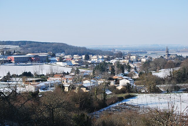
arrondissement of Libourne (arrondissement de Libourne)
- arrondissement of France
- Country:
- Capital: Libourne
- Coordinates: 44° 55' 0" N, 0° 15' 0" E
- GPS tracks (wikiloc): [Link]
- Area: 1283 sq km
- Population: 153551
- Wikipedia en: wiki(en)
- Wikipedia: wiki(fr)
- Wikidata storage: Wikidata: Q549111
- Freebase ID: [/m/095gc8]
- GeoNames ID: Alt: [2998516]
- INSEE arrondissement code: [335]
- GNS Unique Feature ID: -1446886
Includes regions:
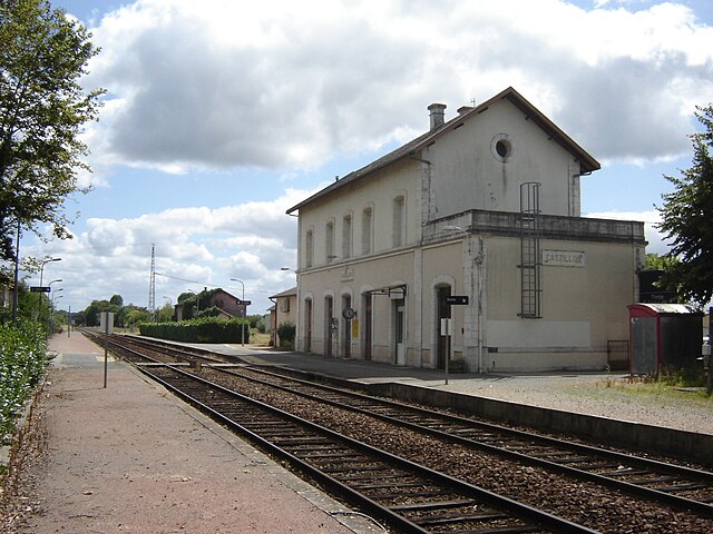
canton of Guîtres
- canton of France (until March 2015)
- Country:
- Capital: Guîtres
- Coordinates: 45° 2' 28" N, 0° 13' 59" E
- GPS tracks (wikiloc): [Link]
canton of Branne
- canton of France (until March 2015)
- Country:
- Capital: Branne
- Coordinates: 44° 49' 4" N, 0° 13' 59" E
- GPS tracks (wikiloc): [Link]
canton of Coutras
- canton of France (until March 2015)
- Country:
- Capital: Coutras
- Coordinates: 45° 2' 51" N, 0° 3' 53" E
- GPS tracks (wikiloc): [Link]
canton of Castillon-la-Bataille
- canton of France
- Country:
- Capital: Castillon-la-Bataille
- Coordinates: 44° 52' 34" N, 0° 4' 26" E
- GPS tracks (wikiloc): [Link]
canton of Fronsac
- canton of France
- Country:
- Capital: Fronsac
- Coordinates: 44° 55' 0" N, 0° 16' 0" E
- GPS tracks (wikiloc): [Link]
canton of Libourne
- canton of France
- Country:
- Capital: Libourne
- Coordinates: 44° 54' 36" N, 0° 14' 49" E
- GPS tracks (wikiloc): [Link]
canton of Pujols
- canton in France
- Country:
- Capital: Pujols
- Coordinates: 44° 48' 33" N, 0° 3' 48" E
- GPS tracks (wikiloc): [Link]
canton of Lussac
- canton in France
- Country:
- Capital: Lussac
- Coordinates: 44° 57' 12" N, 0° 4' 7" E
- GPS tracks (wikiloc): [Link]
canton of Sainte-Foy-la-Grande
- canton in France
- Country:
- Capital: Sainte-Foy-la-Grande
- Coordinates: 44° 48' 20" N, 0° 12' 12" E
- GPS tracks (wikiloc): [Link]