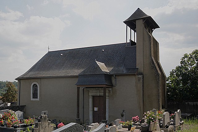
Lhez (Lhez)

- commune in Hautes-Pyrénées, France
- Country:

- Postal Code: 65190
- Coordinates: 43° 12' 14" N, 0° 11' 49" E


- GPS tracks (wikiloc): [Link]
- Area: 0.88 sq km
- Population: 76
- Wikipedia en: wiki(en)
- Wikipedia: wiki(fr)
- Wikidata storage: Wikidata: Q1328539
- Wikipedia Commons Category: [Link]
- Freebase ID: [/m/03nv5xn]
- Freebase ID: [/m/03nv5xn]
- GeoNames ID: Alt: [6440799]
- GeoNames ID: Alt: [6440799]
- SIREN number: [216502724]
- SIREN number: [216502724]
- BnF ID: [15270652j]
- BnF ID: [15270652j]
- PACTOLS thesaurus ID: [pcrtzkcFNQzQMW]
- PACTOLS thesaurus ID: [pcrtzkcFNQzQMW]
- INSEE municipality code: 65272
- INSEE municipality code: 65272
Shares border with regions:

Angos
- commune in Hautes-Pyrénées, France
- Country:
- Postal Code: 65690
- Coordinates: 43° 11' 38" N, 0° 9' 5" E
- GPS tracks (wikiloc): [Link]
- Area: 2.98 sq km
- Population: 232


Bordes
- commune in Hautes-Pyrénées, France
- Country:
- Postal Code: 65190
- Coordinates: 43° 12' 9" N, 0° 13' 32" E
- GPS tracks (wikiloc): [Link]
- Area: 11.22 sq km
- Population: 752


Oueilloux
- commune in Hautes-Pyrénées, France
- Country:
- Postal Code: 65190
- Coordinates: 43° 10' 7" N, 0° 10' 40" E
- GPS tracks (wikiloc): [Link]
- Area: 4.4 sq km
- Population: 172


Mascaras
- commune in Hautes-Pyrénées, France
- Country:
- Postal Code: 65190
- Coordinates: 43° 11' 24" N, 0° 10' 10" E
- GPS tracks (wikiloc): [Link]
- Area: 4.76 sq km
- Population: 338