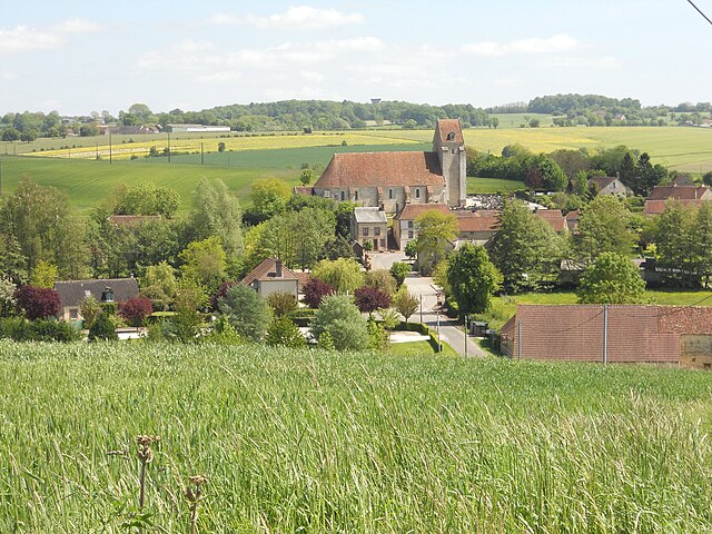
Lignerolles (Lignerolles)

- former commune in Orne, France
- Country:

- Postal Code: 61190
- Coordinates: 48° 35' 27" N, 0° 34' 59" E


- GPS tracks (wikiloc): [Link]
- Area: 5.28 sq km
- Population: 169
- Wikipedia en: wiki(en)
- Wikipedia: wiki(fr)
- Wikidata storage: Wikidata: Q212343
- Wikipedia Commons Category: [Link]
- Freebase ID: [/m/03qgppf]
- Freebase ID: [/m/03qgppf]
- GeoNames ID: Alt: [6439128]
- GeoNames ID: Alt: [6439128]
- BnF ID: [15268158z]
- BnF ID: [15268158z]
- INSEE municipality code: 61226
- INSEE municipality code: 61226
Shares border with regions:
Bubertré
- former commune in Orne, France
- Country:
- Postal Code: 61190
- Coordinates: 48° 35' 47" N, 0° 36' 0" E
- GPS tracks (wikiloc): [Link]
- Area: 13.72 sq km
- Population: 140

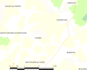
Champs
- former commune in Orne, France
- Country:
- Postal Code: 61190
- Coordinates: 48° 35' 2" N, 0° 33' 19" E
- GPS tracks (wikiloc): [Link]
- Area: 4.91 sq km
- Population: 83
Prépotin
- former commune in Orne, France
- Country:
- Postal Code: 61190
- Coordinates: 48° 36' 49" N, 0° 34' 39" E
- GPS tracks (wikiloc): [Link]
- Area: 10.53 sq km
- Population: 126

Sainte-Céronne-lès-Mortagne
- commune in Orne, France
- Country:
- Postal Code: 61380
- Coordinates: 48° 34' 4" N, 0° 31' 58" E
- GPS tracks (wikiloc): [Link]
- Area: 12.55 sq km
- Population: 257
- Web site: [Link]