
Limeuil (Limeuil)

- commune in Dordogne, France
- Country:

- Postal Code: 24510
- Coordinates: 44° 53' 7" N, 0° 53' 20" E


- GPS tracks (wikiloc): [Link]
- Area: 10.57 sq km
- Population: 341
- Web site: http://www.limeuil-en-perigord.com/
- Wikipedia en: wiki(en)
- Wikipedia: wiki(fr)
- Wikidata storage: Wikidata: Q473001
- Wikipedia Commons Category: [Link]
- Freebase ID: [/m/03g_hzk]
- Freebase ID: [/m/03g_hzk]
- GeoNames ID: Alt: [2998292]
- GeoNames ID: Alt: [2998292]
- SIREN number: [212402408]
- SIREN number: [212402408]
- BnF ID: [15251887k]
- BnF ID: [15251887k]
- VIAF ID: Alt: [197098692]
- VIAF ID: Alt: [197098692]
- INSEE municipality code: 24240
- INSEE municipality code: 24240
Shares border with regions:
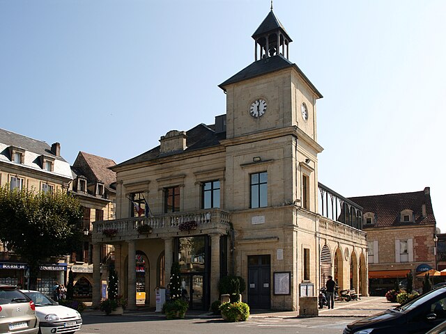

Le Bugue
- commune in Dordogne, France
- Country:
- Postal Code: 24260
- Coordinates: 44° 55' 12" N, 0° 55' 38" E
- GPS tracks (wikiloc): [Link]
- Area: 28.96 sq km
- Population: 2656
- Web site: [Link]


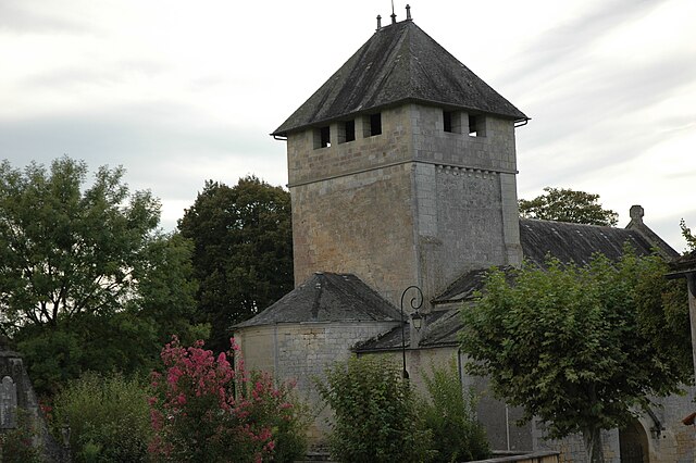
Paunat
- commune in Dordogne, France
- Country:
- Postal Code: 24510
- Coordinates: 44° 54' 21" N, 0° 51' 32" E
- GPS tracks (wikiloc): [Link]
- Area: 18.28 sq km
- Population: 305
- Web site: [Link]

Alles-sur-Dordogne
- commune in Dordogne, France
- Country:
- Postal Code: 24480
- Coordinates: 44° 51' 31" N, 0° 52' 3" E
- GPS tracks (wikiloc): [Link]
- Area: 9.41 sq km
- Population: 379
- Web site: [Link]