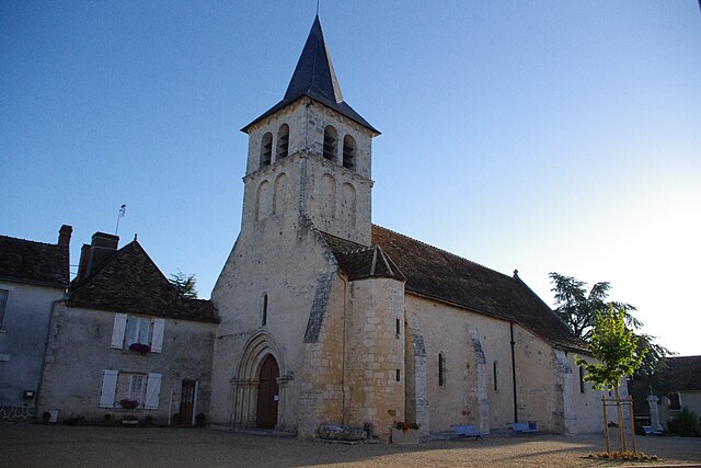
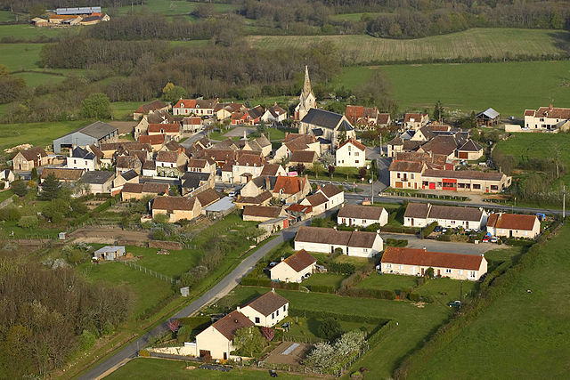
Lingé (Lingé)

- commune in Indre, France
- Country:

- Postal Code: 36220
- Coordinates: 46° 45' 18" N, 1° 5' 2" E


- GPS tracks (wikiloc): [Link]
- Area: 32.66 sq km
- Population: 232
- Wikipedia en: wiki(en)
- Wikipedia: wiki(fr)
- Wikidata storage: Wikidata: Q1137578
- Wikipedia Commons Category: [Link]
- Freebase ID: [/m/03nvbd6]
- GeoNames ID: Alt: [6448630]
- SIREN number: [213600968]
- BnF ID: [152574001]
- INSEE municipality code: 36096
Shares border with regions:


Saint-Michel-en-Brenne
- commune in Indre, France
- Country:
- Postal Code: 36290
- Coordinates: 46° 48' 22" N, 1° 9' 29" E
- GPS tracks (wikiloc): [Link]
- Area: 49.15 sq km
- Population: 324


Martizay
- commune in Indre, France
- Country:
- Postal Code: 36220
- Coordinates: 46° 48' 26" N, 1° 2' 35" E
- GPS tracks (wikiloc): [Link]
- Area: 39 sq km
- Population: 973
- Web site: [Link]

Douadic
- commune in Indre, France
- Country:
- Postal Code: 36300
- Coordinates: 46° 42' 18" N, 1° 6' 41" E
- GPS tracks (wikiloc): [Link]
- Area: 43.14 sq km
- Population: 454


Rosnay
- commune in Indre, France
- Country:
- Postal Code: 36300
- Coordinates: 46° 42' 4" N, 1° 12' 52" E
- GPS tracks (wikiloc): [Link]
- Area: 59.03 sq km
- Population: 506

Lureuil
- commune in Indre, France
- Country:
- Postal Code: 36220
- Coordinates: 46° 44' 38" N, 1° 2' 33" E
- GPS tracks (wikiloc): [Link]
- Area: 22.04 sq km
- Population: 266