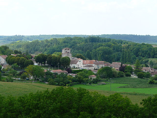
Lisle (Lisle)

- commune in Dordogne, France
- Country:

- Postal Code: 24350
- Coordinates: 45° 16' 42" N, 0° 32' 55" E


- GPS tracks (wikiloc): [Link]
- Area: 17.97 sq km
- Population: 904
- Wikipedia en: wiki(en)
- Wikipedia: wiki(fr)
- Wikidata storage: Wikidata: Q1077268
- Wikipedia Commons Category: [Link]
- Freebase ID: [/m/0264bbw]
- Freebase ID: [/m/0264bbw]
- GeoNames ID: Alt: [6429418]
- GeoNames ID: Alt: [6429418]
- SIREN number: [212402432]
- SIREN number: [212402432]
- BnF ID: [15251890g]
- BnF ID: [15251890g]
- INSEE municipality code: 24243
- INSEE municipality code: 24243
Shares border with regions:


Mensignac
- commune in Dordogne, France
- Country:
- Postal Code: 24350
- Coordinates: 45° 13' 31" N, 0° 33' 40" E
- GPS tracks (wikiloc): [Link]
- Area: 26.08 sq km
- Population: 1534
- Web site: [Link]

Grand-Brassac
- commune in Dordogne, France
- Country:
- Postal Code: 24350
- Coordinates: 45° 17' 39" N, 0° 28' 43" E
- GPS tracks (wikiloc): [Link]
- Area: 31.74 sq km
- Population: 529


Bussac
- commune in Dordogne, France
- Country:
- Postal Code: 24350
- Coordinates: 45° 16' 20" N, 0° 36' 23" E
- GPS tracks (wikiloc): [Link]
- Area: 16.84 sq km
- Population: 385


Bourdeilles
- commune in Dordogne, France
- Country:
- Postal Code: 24310
- Coordinates: 45° 19' 19" N, 0° 35' 13" E
- GPS tracks (wikiloc): [Link]
- Area: 21.85 sq km
- Population: 739
- Web site: [Link]