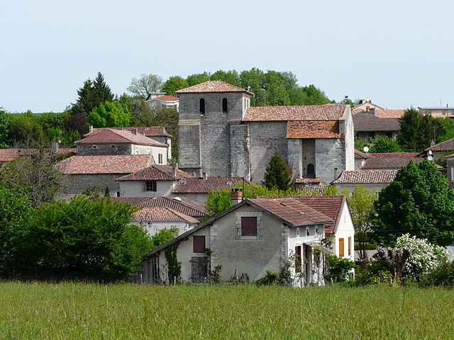
Mensignac (Mensignac)

- commune in Dordogne, France
- Country:

- Postal Code: 24350
- Coordinates: 45° 13' 31" N, 0° 33' 40" E


- GPS tracks (wikiloc): [Link]
- Area: 26.08 sq km
- Population: 1534
- Web site: http://www.mensignac.fr
- Wikipedia en: wiki(en)
- Wikipedia: wiki(fr)
- Wikidata storage: Wikidata: Q1076815
- Wikipedia Commons Category: [Link]
- Freebase ID: [/m/03mg702]
- Freebase ID: [/m/03mg702]
- GeoNames ID: Alt: [2994509]
- GeoNames ID: Alt: [2994509]
- SIREN number: [212402663]
- SIREN number: [212402663]
- BnF ID: [15251912z]
- BnF ID: [15251912z]
- INSEE municipality code: 24266
- INSEE municipality code: 24266
Shares border with regions:

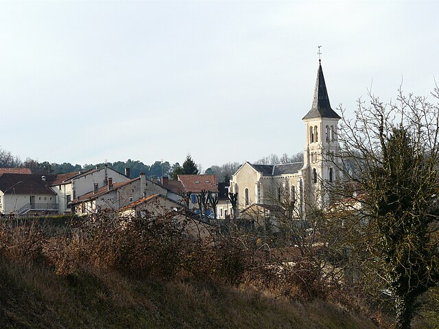
La Chapelle-Gonaguet
- commune in Dordogne, France
- Country:
- Postal Code: 24350
- Coordinates: 45° 13' 51" N, 0° 36' 47" E
- GPS tracks (wikiloc): [Link]
- Area: 19.07 sq km
- Population: 1068
- Web site: [Link]

Léguillac-de-l'Auche
- commune in Dordogne, France
- Country:
- Postal Code: 24110
- Coordinates: 45° 11' 5" N, 0° 33' 23" E
- GPS tracks (wikiloc): [Link]
- AboveSeaLevel: 120 м m
- Area: 14.31 sq km
- Population: 989
- Web site: [Link]


Lisle
- commune in Dordogne, France
- Country:
- Postal Code: 24350
- Coordinates: 45° 16' 42" N, 0° 32' 55" E
- GPS tracks (wikiloc): [Link]
- Area: 17.97 sq km
- Population: 904


Annesse-et-Beaulieu
- commune in Dordogne, France
- Country:
- Postal Code: 24430
- Coordinates: 45° 10' 27" N, 0° 35' 28" E
- GPS tracks (wikiloc): [Link]
- Area: 12.12 sq km
- Population: 1481


Bussac
- commune in Dordogne, France
- Country:
- Postal Code: 24350
- Coordinates: 45° 16' 20" N, 0° 36' 23" E
- GPS tracks (wikiloc): [Link]
- Area: 16.84 sq km
- Population: 385