Lissac-sur-Couze (Lissac-sur-Couze)

- commune in Corrèze, France
- Country:

- Postal Code: 19600
- Coordinates: 45° 6' 14" N, 1° 27' 41" E


- GPS tracks (wikiloc): [Link]
- Area: 12.62 sq km
- Population: 767
- Web site: http://www.lissacsurcouze.fr
- Wikipedia en: wiki(en)
- Wikipedia: wiki(fr)
- Wikidata storage: Wikidata: Q1079143
- Wikipedia Commons Category: [Link]
- Freebase ID: [/m/03mfzq0]
- GeoNames ID: Alt: [6428355]
- SIREN number: [211911706]
- BnF ID: [15249753q]
- PACTOLS thesaurus ID: [pcrtZELXYpIS5k]
- INSEE municipality code: 19117
Shares border with regions:


Saint-Cernin-de-Larche
- commune in Corrèze, France
- Country:
- Postal Code: 19600
- Coordinates: 45° 6' 11" N, 1° 24' 54" E
- GPS tracks (wikiloc): [Link]
- Area: 9.15 sq km
- Population: 663


Chasteaux
- commune in Corrèze, France
- Country:
- Postal Code: 19600
- Coordinates: 45° 5' 34" N, 1° 28' 4" E
- GPS tracks (wikiloc): [Link]
- Area: 18.75 sq km
- Population: 748
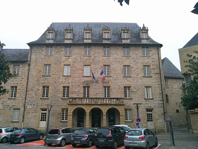

Brive-la-Gaillarde
- commune in Corrèze, France
- Country:
- Postal Code: 19100
- Coordinates: 45° 9' 32" N, 1° 31' 59" E
- GPS tracks (wikiloc): [Link]
- AboveSeaLevel: 142 м m
- Area: 48.59 sq km
- Population: 47349
- Web site: [Link]


Larche
- commune in Corrèze, France
- Country:
- Postal Code: 19600
- Coordinates: 45° 7' 14" N, 1° 24' 56" E
- GPS tracks (wikiloc): [Link]
- Area: 5.74 sq km
- Population: 1599

Saint-Pantaléon-de-Larche
- commune in Corrèze, France
- Country:
- Postal Code: 19600
- Coordinates: 45° 8' 28" N, 1° 26' 47" E
- GPS tracks (wikiloc): [Link]
- Area: 23.47 sq km
- Population: 4793