Longemaison (Longemaison)

- commune in Doubs, France
 Hiking in Longemaison
Longemaison is a small commune located in the Jura department in east-central France, known for its beautiful natural landscapes and outdoor activities, including hiking. Here are some highlights and tips for hiking in and around Longemaison:
Scenic Trails
-
Local Trails: The area surrounding Longemaison offers a variety of local hiking trails that meander through forests, pastures, and rolling hills. The routes vary in difficulty, making it suitable for both novice hikers and experienced trekkers.
-
Natural Features: Hikers can enjoy stunning views of the Jura mountains and the Doubs river valleys. Look out for unique geological features and diverse wildlife native to the region.
Trail Details
- Marked Paths: There are several well-marked paths in and around Longemaison, often indicated by signposts. Make sure to check local maps or smartphone apps for detailed trail information.
- Distance and Duration: Trails vary in distance, with short walks suitable for families and longer routes that can extend for several hours.
Preparation and Safety
- Weather Conditions: Always check the weather forecast before heading out. The Jura region can experience sudden weather changes, so it’s essential to be prepared.
- Footwear and Gear: Wear sturdy hiking boots, and consider bringing trekking poles for uneven terrain. Dress in layers to accommodate temperature changes.
Wildlife and Nature
- Flora and Fauna: The Jura hills are home to diverse plant species and wildlife. Keep an eye out for birds, deer, and other wildlife along the trails.
Nearby Attractions
- Cultural Sites: While hiking, you might find charming villages and historical sites in the area that are worth exploring.
- Regional Parks: Consider visiting nearby natural reserves or parks to enhance your hiking experience and enjoy the broader landscape of the Jura region.
Local Tips
- Local Guides: If you're unfamiliar with the area, consider hiring a local guide who can provide insights into the trails and the region’s natural history.
- Eating and Drinking: Pack enough water and snacks, though you may find small cafes or restaurants in nearby villages to enjoy a meal after a good hike.
By following these guidelines, you can have a safe and enjoyable hiking experience in Longemaison and its beautiful surroundings.
- Country:

- Postal Code: 25690
- Coordinates: 47° 4' 54" N, 6° 27' 34" E


- GPS tracks (wikiloc): [Link]
- Area: 9.63 sq km
- Population: 146
- Wikipedia en: wiki(en)
- Wikipedia: wiki(fr)
- Wikidata storage: Wikidata: Q673537
- Wikipedia Commons Category: [Link]
- Freebase ID: [/m/03mgbgf]
- Freebase ID: [/m/03mgbgf]
- GeoNames ID: Alt: [6429855]
- GeoNames ID: Alt: [6429855]
- SIREN number: [212503437]
- SIREN number: [212503437]
- BnF ID: [152525692]
- BnF ID: [152525692]
- INSEE municipality code: 25343
- INSEE municipality code: 25343
Shares border with regions:
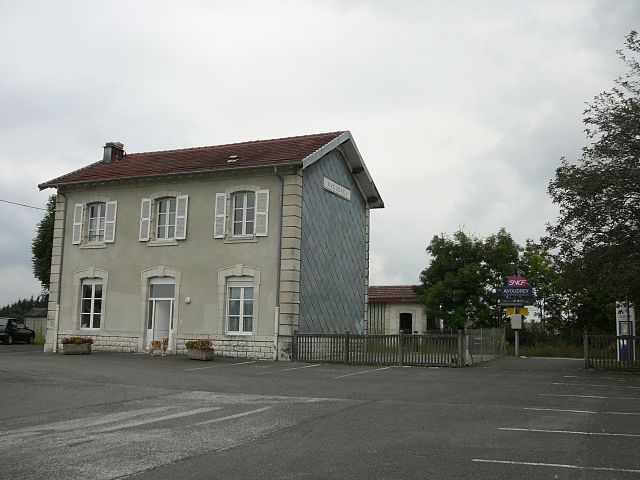

Avoudrey
- commune in Doubs, France
Hiking in Avoudrey
Avoudrey is a picturesque commune located in the Doubs department in the Bourgogne-Franche-Comté region of eastern France. Its location near the Jura Mountains provides a range of hiking opportunities that cater to different skill levels. Here are some highlights about hiking in the Avoudrey region:...
- Country:
- Postal Code: 25690
- Coordinates: 47° 8' 11" N, 6° 26' 8" E
- GPS tracks (wikiloc): [Link]
- Area: 12.86 sq km
- Population: 896
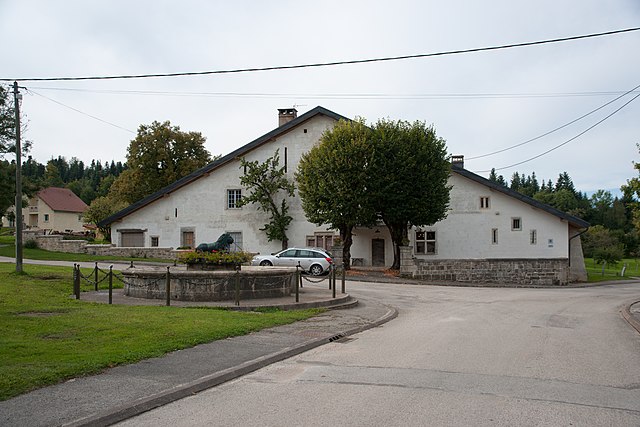

Passonfontaine
- commune in Doubs, France
Hiking in Passonfontaine
Passonfontaine is a picturesque area located in France, known for its stunning natural landscapes and hiking opportunities. While it may not be as widely recognized as some of the larger national parks, it offers a variety of trails that cater to different skill levels, making it a great destination for both novice and experienced hikers....
- Country:
- Postal Code: 25690
- Coordinates: 47° 6' 28" N, 6° 25' 8" E
- GPS tracks (wikiloc): [Link]
- Area: 19.49 sq km
- Population: 316