Longone al Segrino (Longone al Segrino)
.svg)
- Italian comune
 Hiking in Longone al Segrino
Longone al Segrino is a picturesque town in the Lombardy region of Italy, located near the Segrino Lake. The area is known for its natural beauty, making it a great destination for hiking enthusiasts. Here are some highlights for hiking in and around Longone al Segrino:
Trails and Nature
-
Lake Segrino: The lake itself offers a scenic backdrop for hiking. There are paths around the lake that provide beautiful views, a relaxed atmosphere, and the opportunity to enjoy the surrounding nature.
-
Regional Park of the Valle del Lambro: Just a short distance from Longone al Segrino, this park features a variety of trails. The terrain ranges from easy walks to more challenging hikes, including routes that take you through rich forests and alongside rivers.
-
Mountain Trails: The area is close to the foothills of the Pre-Alps, offering access to more rugged hiking trails. Paths leading towards Monte San Primo and other nearby peaks provide stunning panoramic views of the surrounding valleys and lakes.
Hiking Tips
-
Seasons: The best time for hiking is typically spring and fall when the weather is mild, and the landscapes are vibrant with blooming flowers or autumn colors. Summer can be hot, while winter may offer opportunities for snowshoeing in higher elevations.
-
Equipment: Good hiking shoes are essential, and it's a good idea to dress in layers to accommodate changing temperatures throughout the day. Always carry enough water and snacks.
-
Local Maps: Before heading out, obtain local hiking maps or guides. Many trails are well-marked, but having a map can help navigate less traveled paths.
-
Wildlife: Be mindful of the local wildlife. It's common to see various birds, small mammals, and beautiful plant species. Respecting nature helps to preserve the stunning environment.
Cultural Aspects
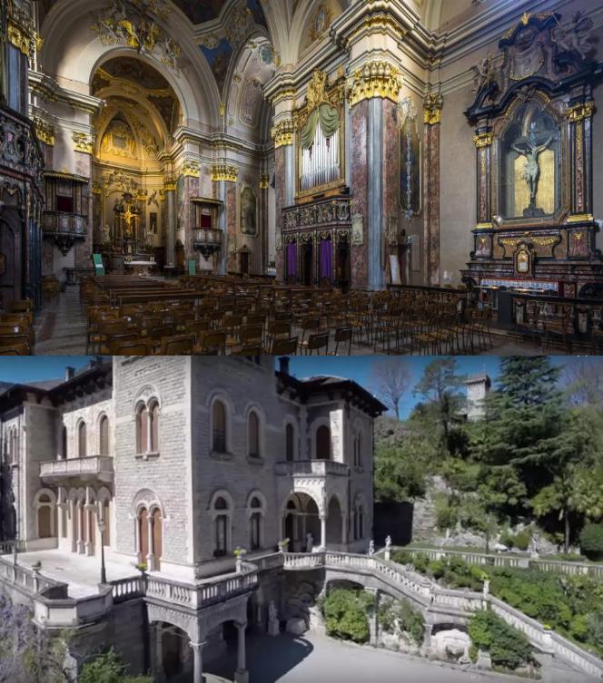
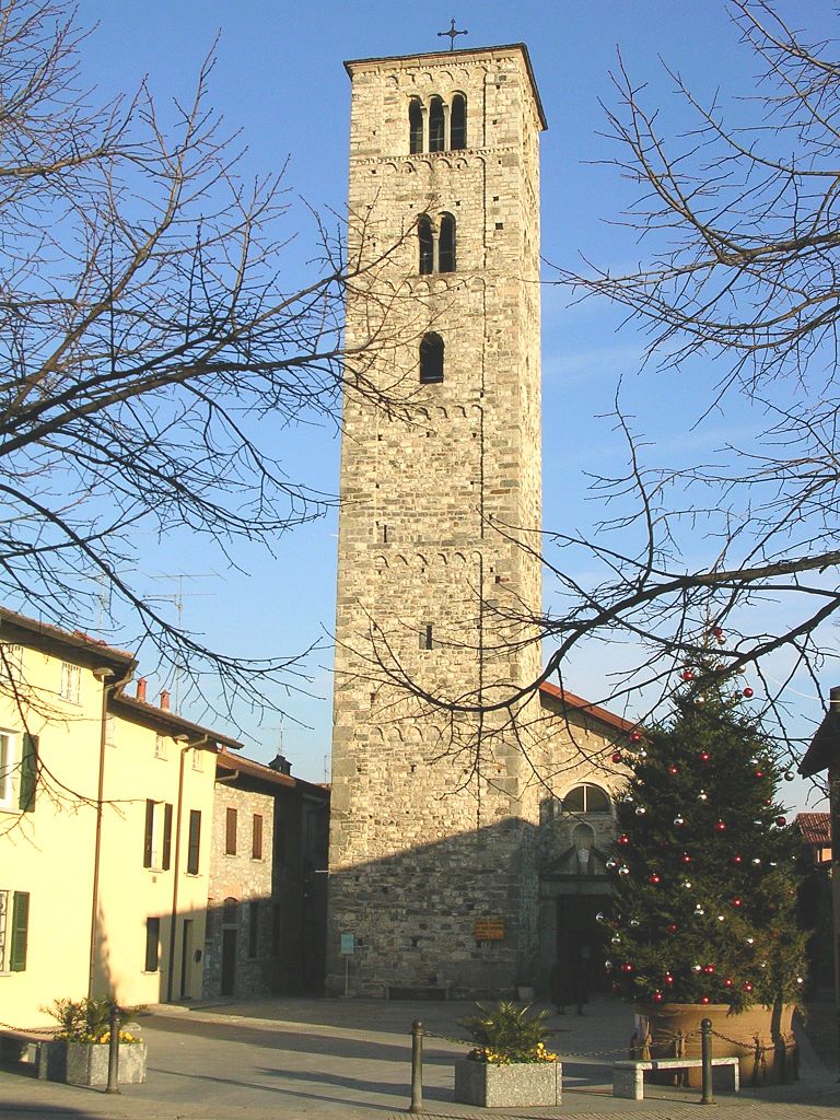
Longone al Segrino is not only about nature; it's also rich in history. You may encounter old stone structures, chapels, and quaint villages along the trails that reflect the region's heritage.
Conclusion
Hiking in Longone al Segrino offers a fantastic blend of natural beauty and cultural exploration. Whether you're looking for an easy day hike or a more challenging trek, there are options available to suit all levels of hikers. Always remember to check local conditions and regulations before you set out, and enjoy the stunning landscapes this beautiful part of Italy has to offer!
- Country:

- Postal Code: 22030
- Local Dialing Code: 031
- Licence Plate Code: CO
- Coordinates: 45° 49' 0" N, 9° 15' 0" E


- GPS tracks (wikiloc): [Link]
- AboveSeaLevel: 368 м m
- Area: 1.6 sq km
- Population: 1900
- Web site: http://www.comune.longonealsegrino.co.it
- Wikipedia en: wiki(en)
- Wikipedia: wiki(it)
- Wikidata storage: Wikidata: Q47621
- Wikipedia Commons Category: [Link]
- Freebase ID: [/m/0gj0rq]
- GeoNames ID: Alt: [6543115]
- OSM relation ID: [46244]
- MusicBrainz area ID: [f3070cf9-bc1d-4fef-aec5-8c93cd3ce19f]
- ISTAT ID: 013134
- Italian cadastre code: E679
Shares border with regions:

Canzo
- Italian comune
Hiking in Canzo
Canzo, located in the Lombardy region of Italy, is a fantastic destination for hiking enthusiasts. Nestled in the foothills of the Italian Alps, it offers stunning landscapes, varied terrains, and plenty of trails suitable for different skill levels. Here are some highlights about hiking in Canzo:...
- Country:
- Postal Code: 22035
- Local Dialing Code: 031
- Licence Plate Code: CO
- Coordinates: 45° 51' 0" N, 9° 16' 0" E
- GPS tracks (wikiloc): [Link]
- AboveSeaLevel: 402 м m
- Area: 11.11 sq km
- Population: 5081
- Web site: [Link]

Erba
- Italian comune
Hiking in Erba
Erba, located in the province of Como in Lombardy, is an excellent destination for hiking enthusiasts. Surrounded by the picturesque landscapes of the Pre-Alps, the area offers a variety of trails suitable for all skill levels, from leisurely walks to more challenging hikes....
- Country:
- Postal Code: 22036
- Local Dialing Code: 031
- Licence Plate Code: CO
- Coordinates: 45° 49' 0" N, 9° 13' 0" E
- GPS tracks (wikiloc): [Link]
- AboveSeaLevel: 320 м m
- Area: 17.80 sq km
- Population: 16346
- Web site: [Link]
Proserpio
- Italian comune
Hiking in Proserpio
Proserpio, located in Italy near Lake Como, offers a range of hiking opportunities that showcase the stunning natural beauty of the region. Here are some highlights and tips for hiking in and around Proserpio:...
- Country:
- Postal Code: 22030
- Local Dialing Code: 031
- Licence Plate Code: CO
- Coordinates: 45° 49' 0" N, 9° 15' 0" E
- GPS tracks (wikiloc): [Link]
- AboveSeaLevel: 450 м m
- Area: 2.3 sq km
- Population: 936
- Web site: [Link]


Eupilio
- Italian comune
Hiking in Eupilio
Eupilio is a charming town located in the province of Como in the Lombardy region of northern Italy. It is situated near Lake Pusiano, making it a beautiful area for hiking with scenic views and a variety of natural landscapes....
- Country:
- Postal Code: 22030
- Local Dialing Code: 031
- Licence Plate Code: CO
- Coordinates: 45° 49' 0" N, 9° 16' 0" E
- GPS tracks (wikiloc): [Link]
- AboveSeaLevel: 383 м m
- Area: 6.94 sq km
- Population: 2610
- Web site: [Link]