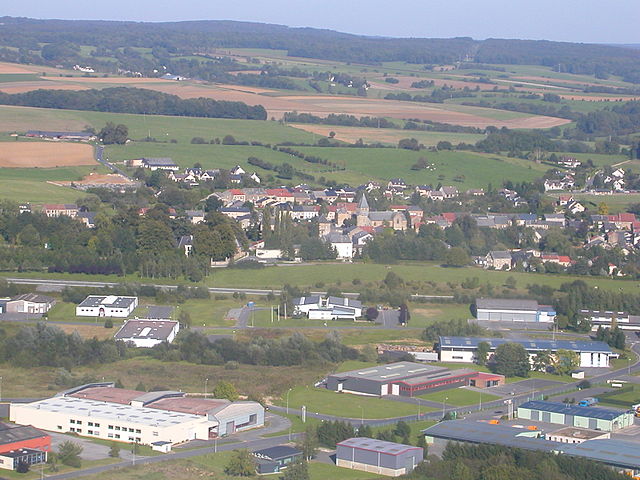
Lonny (Lonny)
- commune in Ardennes, France
- Country:

- Postal Code: 08150
- Coordinates: 49° 48' 57" N, 4° 35' 15" E


- GPS tracks (wikiloc): [Link]
- Area: 4.69 sq km
- Population: 635
- Wikipedia en: wiki(en)
- Wikipedia: wiki(fr)
- Wikidata storage: Wikidata: Q1419087
- Wikipedia Commons Category: [Link]
- Freebase ID: [/m/03m8f5y]
- GeoNames ID: Alt: [6426002]
- SIREN number: [210802351]
- INSEE municipality code: 08260
Shares border with regions:

Ham-les-Moines
- commune in Ardennes, France
- Country:
- Postal Code: 08090
- Coordinates: 49° 47' 43" N, 4° 35' 50" E
- GPS tracks (wikiloc): [Link]
- Area: 3.12 sq km
- Population: 381

Renwez
- commune in Ardennes, France
- Country:
- Postal Code: 08150
- Coordinates: 49° 50' 22" N, 4° 36' 8" E
- GPS tracks (wikiloc): [Link]
- Area: 16.18 sq km
- Population: 1717
- Web site: [Link]

Harcy
- commune in Ardennes, France
- Country:
- Postal Code: 08150
- Coordinates: 49° 50' 10" N, 4° 33' 48" E
- GPS tracks (wikiloc): [Link]
- Area: 19.15 sq km
- Population: 503

Sormonne
- commune in Ardennes, France
- Country:
- Postal Code: 08150
- Coordinates: 49° 48' 38" N, 4° 33' 59" E
- GPS tracks (wikiloc): [Link]
- Area: 4.75 sq km
- Population: 551
Cliron
- commune in Ardennes, France
- Country:
- Postal Code: 08090
- Coordinates: 49° 48' 39" N, 4° 36' 48" E
- GPS tracks (wikiloc): [Link]
- Area: 6.18 sq km
- Population: 345