Lopérec (Lopérec)

- commune in Finistère, Brittany
- Country:

- Postal Code: 29590
- Coordinates: 48° 16' 37" N, 4° 2' 53" E


- GPS tracks (wikiloc): [Link]
- Area: 39.49 sq km
- Population: 850
- Web site: http://www.loperec.fr
- Wikipedia en: wiki(en)
- Wikipedia: wiki(fr)
- Wikidata storage: Wikidata: Q475765
- Wikipedia Commons Gallery: [Link]
- Wikipedia Commons Category: [Link]
- Freebase ID: [/m/03gxxwh]
- GeoNames ID: Alt: [2997617]
- SIREN number: [212901391]
- PACTOLS thesaurus ID: [pcrtOBDrV08s39]
- WOEID: [608617]
- INSEE municipality code: 29139
Shares border with regions:


Hanvec
- commune in Finistère, France
- Country:
- Postal Code: 29460
- Coordinates: 48° 19' 41" N, 4° 9' 40" E
- GPS tracks (wikiloc): [Link]
- Area: 59.11 sq km
- Population: 2006
- Web site: [Link]


Brasparts
- commune in Finistère, France
- Country:
- Postal Code: 29190
- Coordinates: 48° 18' 2" N, 3° 57' 20" E
- GPS tracks (wikiloc): [Link]
- Area: 46.69 sq km
- Population: 1042
- Web site: [Link]


Sizun
- commune in Finistère, France
- Country:
- Postal Code: 29450
- Coordinates: 48° 24' 0" N, 4° 5' 0" E
- GPS tracks (wikiloc): [Link]
- AboveSeaLevel: 112 м m
- Area: 58.14 sq km
- Population: 2260
- Web site: [Link]


Saint-Ségal
- commune in Finistère, France
- Country:
- Postal Code: 29590
- Coordinates: 48° 14' 28" N, 4° 4' 2" E
- GPS tracks (wikiloc): [Link]
- Area: 16.2 sq km
- Population: 1046
- Web site: [Link]
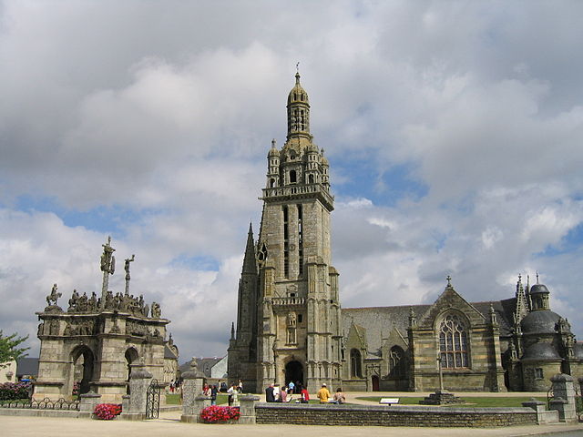

Pleyben
- commune in Finistère, France
- Country:
- Postal Code: 29190
- Coordinates: 48° 14' 0" N, 3° 58' 0" E
- GPS tracks (wikiloc): [Link]
- Area: 76.04 sq km
- Population: 3743
- Web site: [Link]


Pont-de-Buis-lès-Quimerch
- commune in Finistère, France
- Country:
- Postal Code: 29590
- Coordinates: 48° 15' 16" N, 4° 5' 24" E
- GPS tracks (wikiloc): [Link]
- AboveSeaLevel: 96 м m
- Area: 41.39 sq km
- Population: 3869
- Web site: [Link]


Saint-Rivoal
- commune in Finistère, France
- Country:
- Postal Code: 29190
- Coordinates: 48° 20' 57" N, 3° 59' 48" E
- GPS tracks (wikiloc): [Link]
- Area: 18.69 sq km
- Population: 178