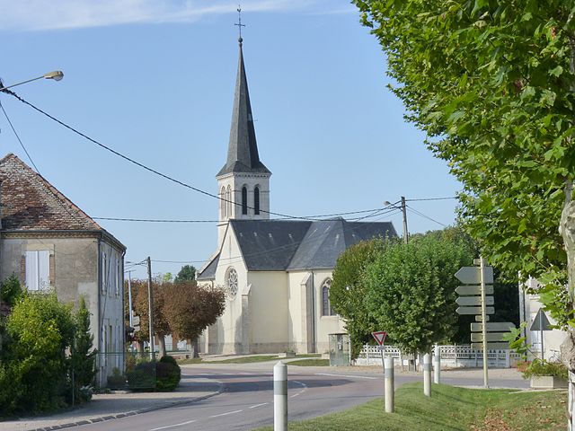
Losne (Losne)

- commune in Côte-d'Or, France
- Country:

- Postal Code: 21170
- Coordinates: 47° 5' 54" N, 5° 15' 47" E


- GPS tracks (wikiloc): [Link]
- Area: 22.61 sq km
- Population: 1636
- Web site: http://www.losne.fr
- Wikipedia en: wiki(en)
- Wikipedia: wiki(fr)
- Wikidata storage: Wikidata: Q16771
- Wikipedia Commons Category: [Link]
- Freebase ID: [/m/03mfspj]
- GeoNames ID: Alt: [6453465]
- SIREN number: [212103568]
- BnF ID: [152506435]
- PACTOLS thesaurus ID: [pcrtNcmIuwZmwg]
- INSEE municipality code: 21356
Shares border with regions:


Aumur
- commune in Jura, France
- Country:
- Postal Code: 39410
- Coordinates: 47° 3' 31" N, 5° 20' 56" E
- GPS tracks (wikiloc): [Link]
- Area: 9.22 sq km
- Population: 367

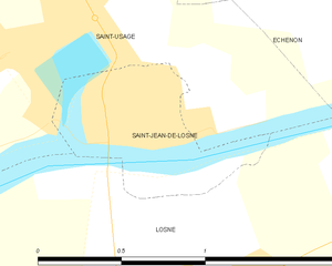
Saint-Jean-de-Losne
- commune in Côte-d'Or, France
- Country:
- Postal Code: 21170
- Coordinates: 47° 6' 11" N, 5° 15' 50" E
- GPS tracks (wikiloc): [Link]
- Area: 0.58 sq km
- Population: 1124
- Web site: [Link]


Saint-Symphorien-sur-Saône
- commune in Côte-d'Or, France
- Country:
- Postal Code: 21170
- Coordinates: 47° 6' 9" N, 5° 18' 14" E
- GPS tracks (wikiloc): [Link]
- Area: 7.9 sq km
- Population: 359
- Web site: [Link]
Saint-Usage
- commune in Côte-d'Or, France
- Country:
- Postal Code: 21170
- Coordinates: 47° 6' 33" N, 5° 15' 42" E
- GPS tracks (wikiloc): [Link]
- Area: 9.36 sq km
- Population: 1343
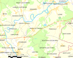
Pagny-le-Château
- commune in Côte-d'Or, France
- Country:
- Postal Code: 21250
- Coordinates: 47° 2' 50" N, 5° 11' 47" E
- GPS tracks (wikiloc): [Link]
- Area: 24.23 sq km
- Population: 508
- Web site: [Link]

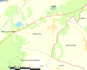
Franxault
- commune in Côte-d'Or, France
- Country:
- Postal Code: 21170
- Coordinates: 47° 3' 12" N, 5° 16' 38" E
- GPS tracks (wikiloc): [Link]
- Area: 12.32 sq km
- Population: 461
- Web site: [Link]