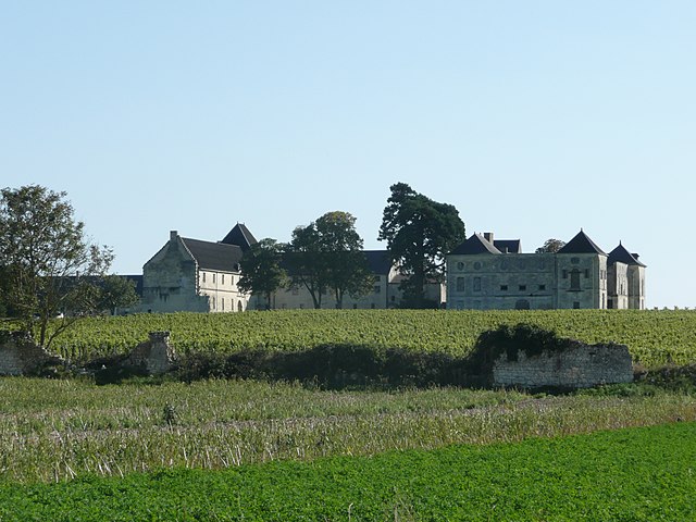
Louerre (Louerre)

- former commune in Maine-et-Loire, France
- Country:

- Postal Code: 49700
- Coordinates: 47° 17' 47" N, 0° 19' 27" E


- GPS tracks (wikiloc): [Link]
- Area: 14.44 sq km
- Population: 484
- Web site: http://www.village-louerre.fr/
- Wikipedia en: wiki(en)
- Wikipedia: wiki(fr)
- Wikidata storage: Wikidata: Q1163978
- Wikipedia Commons Category: [Link]
- Freebase ID: [/m/03qcpm4]
- GeoNames ID: Alt: [2997451]
- BnF ID: [15261782s]
- INSEE municipality code: 49181
Shares border with regions:

Grézillé
- former commune in Maine-et-Loire, France
- Country:
- Postal Code: 49320
- Coordinates: 47° 19' 33" N, 0° 20' 49" E
- GPS tracks (wikiloc): [Link]
- Area: 17.62 sq km
- Population: 637
- Web site: [Link]


Louresse-Rochemenier
- commune in Maine-et-Loire, France
- Country:
- Postal Code: 49700
- Coordinates: 47° 14' 22" N, 0° 18' 49" E
- GPS tracks (wikiloc): [Link]
- Area: 25.82 sq km
- Population: 825

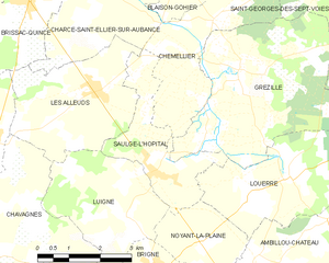
Saulgé-l'Hôpital
- former commune in Maine-et-Loire, France
- Country:
- Postal Code: 49320
- Coordinates: 47° 17' 45" N, 0° 22' 57" E
- GPS tracks (wikiloc): [Link]
- Area: 6.6 sq km
- Population: 608
- Web site: [Link]


Noyant-la-Plaine
- former commune in Maine-et-Loire, France
- Country:
- Postal Code: 49700
- Coordinates: 47° 16' 30" N, 0° 21' 37" E
- GPS tracks (wikiloc): [Link]
- Area: 4.99 sq km
- Population: 361