Ludesse (Ludesse)

- commune in Puy-de-Dôme, France
- Country:

- Postal Code: 63320
- Coordinates: 45° 36' 40" N, 3° 6' 42" E


- GPS tracks (wikiloc): [Link]
- Area: 8.47 sq km
- Population: 485
- Web site: http://mairie-ludesse.fr
- Wikipedia en: wiki(en)
- Wikipedia: wiki(fr)
- Wikidata storage: Wikidata: Q1098381
- Wikipedia Commons Category: [Link]
- Freebase ID: [/m/03qhbkm]
- GeoNames ID: Alt: [6440070]
- SIREN number: [216301994]
- BnF ID: [15269549b]
- INSEE municipality code: 63199
Shares border with regions:

Plauzat
- commune in Puy-de-Dôme, France
- Country:
- Postal Code: 63730
- Coordinates: 45° 37' 18" N, 3° 8' 56" E
- GPS tracks (wikiloc): [Link]
- Area: 13.01 sq km
- Population: 1610


Montaigut-le-Blanc
- commune in Puy-de-Dôme, France
- Country:
- Postal Code: 63320
- Coordinates: 45° 35' 10" N, 3° 5' 23" E
- GPS tracks (wikiloc): [Link]
- Area: 22.26 sq km
- Population: 848


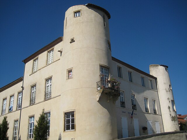
Champeix
- commune in Puy-de-Dôme, France
- Country:
- Postal Code: 63320
- Coordinates: 45° 35' 19" N, 3° 7' 44" E
- GPS tracks (wikiloc): [Link]
- AboveSeaLevel: 456 м m
- Area: 12.12 sq km
- Population: 1330


Olloix
- commune in Puy-de-Dôme, France
- Country:
- Postal Code: 63450
- Coordinates: 45° 37' 17" N, 3° 2' 57" E
- GPS tracks (wikiloc): [Link]
- Area: 11.92 sq km
- Population: 317


Saint-Sandoux
- commune in Puy-de-Dôme, France
- Country:
- Postal Code: 63450
- Coordinates: 45° 38' 26" N, 3° 6' 29" E
- GPS tracks (wikiloc): [Link]
- AboveSeaLevel: 600 м m
- Area: 9.84 sq km
- Population: 942
- Web site: [Link]