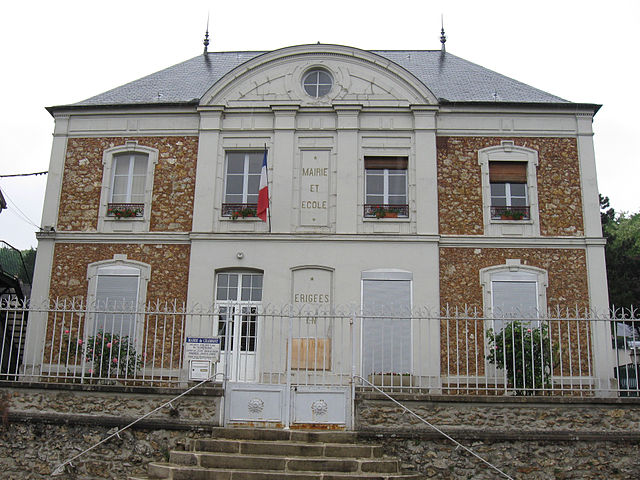
Luzancy (Luzancy)

- commune in Seine-et-Marne, France
- Country:

- Postal Code: 77138
- Coordinates: 48° 58' 23" N, 3° 11' 15" E


- GPS tracks (wikiloc): [Link]
- Area: 6.58 sq km
- Population: 1101
- Web site: http://www.luzancy.fr
- Wikipedia en: wiki(en)
- Wikipedia: wiki(fr)
- Wikidata storage: Wikidata: Q1611643
- Wikipedia Commons Category: [Link]
- Freebase ID: [/m/02qys7p]
- Freebase ID: [/m/02qys7p]
- GeoNames ID: Alt: [6443719]
- GeoNames ID: Alt: [6443719]
- SIREN number: [217702653]
- SIREN number: [217702653]
- BnF ID: [152756057]
- BnF ID: [152756057]
- archINFORM location ID: [4473]
- archINFORM location ID: [4473]
- PACTOLS thesaurus ID: [pcrtNWyffDzHQs]
- PACTOLS thesaurus ID: [pcrtNWyffDzHQs]
- INSEE municipality code: 77265
- INSEE municipality code: 77265
Shares border with regions:

Chamigny
- commune in Seine-et-Marne, France
- Country:
- Postal Code: 77260
- Coordinates: 48° 58' 25" N, 3° 9' 5" E
- GPS tracks (wikiloc): [Link]
- Area: 14.22 sq km
- Population: 1406
- Web site: [Link]


Reuil-en-Brie
- commune in Seine-et-Marne, France
- Country:
- Postal Code: 77260
- Coordinates: 48° 57' 38" N, 3° 8' 49" E
- GPS tracks (wikiloc): [Link]
- Area: 5.92 sq km
- Population: 822
- Web site: [Link]


Méry-sur-Marne
- commune in Seine-et-Marne, France
- Country:
- Postal Code: 77730
- Coordinates: 48° 58' 2" N, 3° 12' 6" E
- GPS tracks (wikiloc): [Link]
- Area: 5.77 sq km
- Population: 660
- Web site: [Link]


Saâcy-sur-Marne
- commune in Seine-et-Marne, France
- Country:
- Postal Code: 77730
- Coordinates: 48° 57' 46" N, 3° 12' 42" E
- GPS tracks (wikiloc): [Link]
- Area: 13.8 sq km
- Population: 1796
- Web site: [Link]

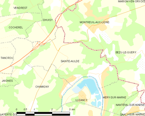
Sainte-Aulde
- commune in Seine-et-Marne, France
- Country:
- Postal Code: 77260
- Coordinates: 48° 59' 36" N, 3° 10' 21" E
- GPS tracks (wikiloc): [Link]
- AboveSeaLevel: 56 м m
- Area: 8.63 sq km
- Population: 704
- Web site: [Link]