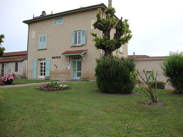
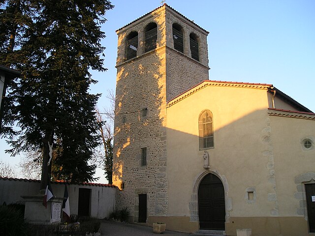
Magneux-Haute-Rive (Magneux-Haute-Rive)

- commune in Loire, France
- Country:

- Postal Code: 42600
- Coordinates: 45° 40' 14" N, 4° 10' 16" E


- GPS tracks (wikiloc): [Link]
- Area: 12.56 sq km
- Population: 542
- Web site: https://magneuxhauterive.fr/
- Wikipedia en: wiki(en)
- Wikipedia: wiki(fr)
- Wikidata storage: Wikidata: Q1107504
- Wikipedia Commons Category: [Link]
- Freebase ID: [/m/03nw9yz]
- Freebase ID: [/m/03nw9yz]
- GeoNames ID: Alt: [6434195]
- GeoNames ID: Alt: [6434195]
- SIREN number: [214201303]
- SIREN number: [214201303]
- BnF ID: [15259698m]
- BnF ID: [15259698m]
- PACTOLS thesaurus ID: [pcrtbO98AVA5wT]
- PACTOLS thesaurus ID: [pcrtbO98AVA5wT]
- INSEE municipality code: 42130
- INSEE municipality code: 42130
Shares border with regions:


Chalain-le-Comtal
- commune in Loire, France
- Country:
- Postal Code: 42600
- Coordinates: 45° 38' 43" N, 4° 10' 12" E
- GPS tracks (wikiloc): [Link]
- Area: 18.36 sq km
- Population: 710

Saint-Laurent-la-Conche
- commune in Loire, France
- Country:
- Postal Code: 42210
- Coordinates: 45° 41' 2" N, 4° 12' 41" E
- GPS tracks (wikiloc): [Link]
- Area: 15.51 sq km
- Population: 619


Mornand-en-Forez
- commune in Loire, France
- Country:
- Postal Code: 42600
- Coordinates: 45° 40' 47" N, 4° 7' 30" E
- GPS tracks (wikiloc): [Link]
- Area: 21.6 sq km
- Population: 395

Marclopt
- commune in Loire, France
- Country:
- Postal Code: 42210
- Coordinates: 45° 39' 54" N, 4° 12' 34" E
- GPS tracks (wikiloc): [Link]
- Area: 8.43 sq km
- Population: 505


Chambéon
- commune in Loire, France
- Country:
- Postal Code: 42110
- Coordinates: 45° 41' 49" N, 4° 10' 35" E
- GPS tracks (wikiloc): [Link]
- Area: 16.85 sq km
- Population: 521