Mairé-Levescault (Mairé-Levescault)

- commune in Deux-Sèvres, France
- Country:

- Postal Code: 79190
- Coordinates: 46° 9' 15" N, 0° 4' 53" E


- GPS tracks (wikiloc): [Link]
- AboveSeaLevel: 145 м m
- Area: 17.38 sq km
- Population: 559
- Web site: http://www.maire-levescault.fr/
- Wikipedia en: wiki(en)
- Wikipedia: wiki(fr)
- Wikidata storage: Wikidata: Q1344607
- Wikipedia Commons Category: [Link]
- Freebase ID: [/m/033l6z]
- GeoNames ID: Alt: [6617710]
- SIREN number: [217901636]
- BnF ID: [152762986]
- INSEE municipality code: 79163
Shares border with regions:
La Chapelle-Pouilloux
- commune in Deux-Sèvres, France
- Country:
- Postal Code: 79190
- Coordinates: 46° 8' 17" N, 0° 3' 18" E
- GPS tracks (wikiloc): [Link]
- Area: 7.85 sq km
- Population: 183


Clussais-la-Pommeraie
- commune in Deux-Sèvres, France
- Country:
- Postal Code: 79190
- Coordinates: 46° 11' 9" N, 0° 1' 56" E
- GPS tracks (wikiloc): [Link]
- Area: 31.03 sq km
- Population: 591
- Web site: [Link]
Caunay
- commune in Deux-Sèvres, France
- Country:
- Postal Code: 79190
- Coordinates: 46° 11' 58" N, 0° 5' 23" E
- GPS tracks (wikiloc): [Link]
- Area: 14.42 sq km
- Population: 184

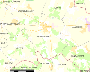
Sauzé-Vaussais
- commune in Deux-Sèvres, France
- Country:
- Postal Code: 79190
- Coordinates: 46° 8' 7" N, 0° 6' 18" E
- GPS tracks (wikiloc): [Link]
- Area: 19.08 sq km
- Population: 1626
- Web site: [Link]


Pliboux
- commune in Deux-Sèvres, France
- Country:
- Postal Code: 79190
- Coordinates: 46° 10' 4" N, 0° 7' 38" E
- GPS tracks (wikiloc): [Link]
- Area: 15.29 sq km
- Population: 208