Marboué (Marboué)

- commune in Eure-et-Loir, France
- Country:

- Postal Code: 28200
- Coordinates: 48° 6' 47" N, 1° 19' 47" E


- GPS tracks (wikiloc): [Link]
- Area: 26.56 sq km
- Population: 1119
- Web site: http://www.marboue.fr
- Wikipedia en: wiki(en)
- Wikipedia: wiki(fr)
- Wikidata storage: Wikidata: Q1141801
- Wikipedia Commons Category: [Link]
- Freebase ID: [/m/03nrl7p]
- GeoNames ID: Alt: [6430792]
- SIREN number: [212802334]
- BnF ID: [15254163c]
- Pleiades ID: [109138]
- INSEE municipality code: 28233
Shares border with regions:
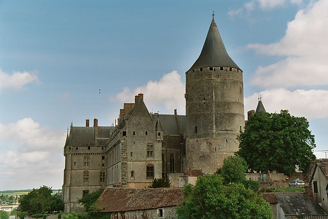
Châteaudun
- commune in Eure-et-Loir, France
- Country:
- Postal Code: 28200
- Coordinates: 48° 4' 15" N, 1° 20' 16" E
- GPS tracks (wikiloc): [Link]
- AboveSeaLevel: 140 м m
- Area: 28.48 sq km
- Population: 12980
- Web site: [Link]