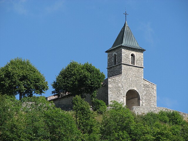
Marchamp (Marchamp)
- commune in Ain, France
 Hiking in Marchamp
Marchamp is not a widely recognized destination, and it may not have specific trails or hiking information readily available in common hiking resources. However, if you meant a specific trail system, park, or destination within a region like the French Alps or elsewhere, please clarify that.
If you're planning to hike in an area called Marchamp, here are some general tips for hiking:
1.
- Ensure you have up-to-date maps and local trail information. Websites, local hiking clubs, or park services can provide the best insights.
2.
- March weather can vary, so be prepared for muddy trails, snow, or even rain. Check recent trail reports or contact local resources for current conditions.
3.
- Dress in layers to accommodate fluctuating temperatures. Waterproof gear is essential if rain is expected.
4.
- Bring enough water and high-energy snacks. Depending on your hike's length, consider packing more food.
5.
- Inform someone of your planned route and expected return time. Carry a first-aid kit and know your limits.
6.
- Be aware of the wildlife in the area and how to safely encounter them (or avoid them).
7.
- Follow ethical hiking practices by leaving no trace. Pack out all trash and respect natural habitats.
If you can provide more detail about Marchamp's location or specific trails, I’d be happy to offer more tailored advice!
- Country:

- Postal Code: 01680
- Coordinates: 45° 46' 42" N, 5° 32' 54" E


- GPS tracks (wikiloc): [Link]
- Area: 13.11 sq km
- Population: 130
- Wikipedia en: wiki(en)
- Wikipedia: wiki(fr)
- Wikidata storage: Wikidata: Q542133
- Wikipedia Commons Category: [Link]
- Wikipedia Commons Maps Category: [Link]
- Freebase ID: [/m/03czfp1]
- Freebase ID: [/m/03czfp1]
- Freebase ID: [/m/03czfp1]
- GeoNames ID: Alt: [6424582]
- GeoNames ID: Alt: [6424582]
- GeoNames ID: Alt: [6424582]
- SIREN number: [210102331]
- SIREN number: [210102331]
- SIREN number: [210102331]
- INSEE municipality code: 01233
- INSEE municipality code: 01233
- INSEE municipality code: 01233
Shares border with regions:


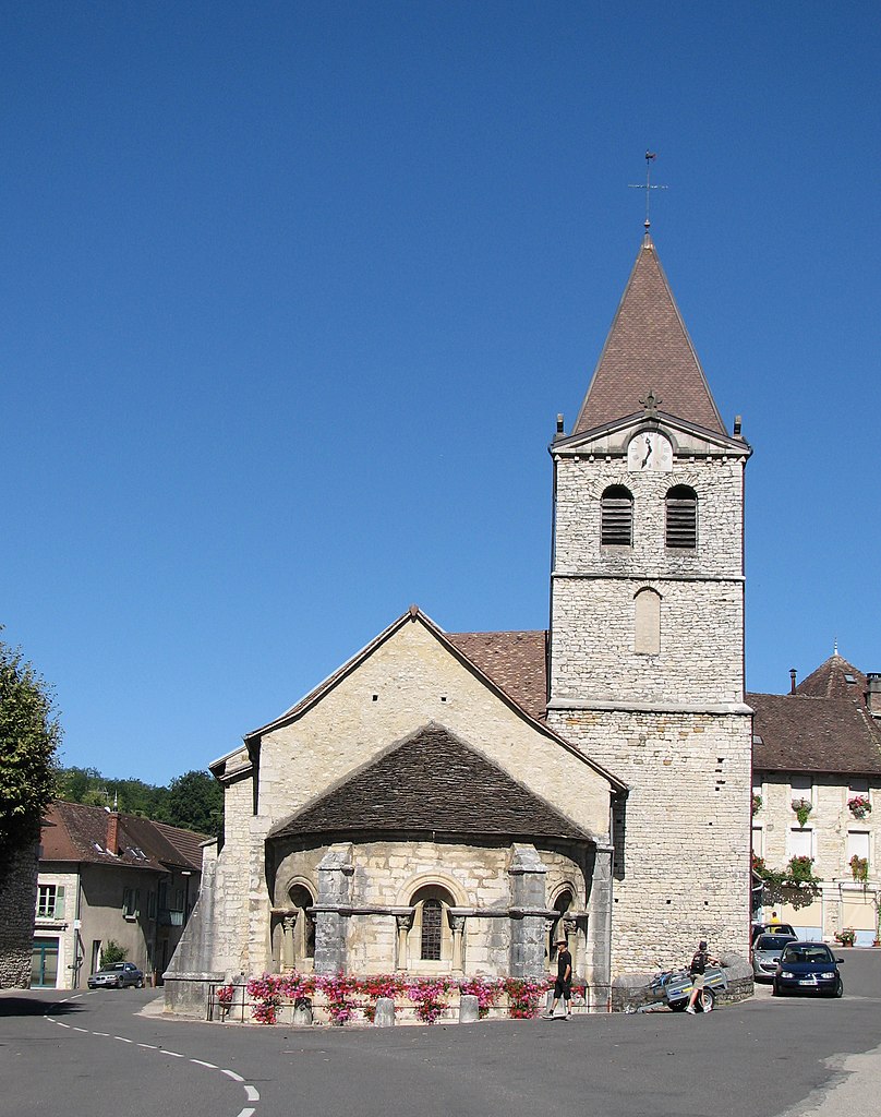
Ambléon
- commune in Ain, France
Hiking in Ambléon
Ambléon is a charming village situated in the Auvergne-Rhône-Alpes region of France, nestled in the foothills of the French Alps. The area is known for its stunning landscapes, offering a variety of hiking opportunities that cater to different skill levels....
- Country:
- Postal Code: 01300
- Coordinates: 45° 44' 58" N, 5° 36' 5" E
- GPS tracks (wikiloc): [Link]
- Area: 5.88 sq km
- Population: 109

Briord
- commune in Ain, France
Hiking in Briord
Briord is a charming commune located in the Ain department of the Auvergne-Rhône-Alpes region in southeastern France. It offers a mix of natural beauty and cultural heritage, making it an interesting destination for hikers and outdoor enthusiasts....
- Country:
- Postal Code: 01470
- Coordinates: 45° 46' 57" N, 5° 27' 34" E
- GPS tracks (wikiloc): [Link]
- Area: 12.29 sq km
- Population: 1000
- Web site: [Link]
Innimond
- commune in Ain, France
Hiking in Innimond
Innimond is a beautiful area for hiking, characterized by its stunning natural scenery and diverse terrain. Although specific trail details may vary, here are some general tips and information about hiking in the Innimond region:...
- Country:
- Postal Code: 01680
- Coordinates: 45° 46' 58" N, 5° 34' 21" E
- GPS tracks (wikiloc): [Link]
- Area: 13.44 sq km
- Population: 106
Lhuis
- commune in Ain, France
Hiking in Lhuis
Lhuis is a charming commune located in the Ain department of the Auvergne-Rhône-Alpes region of France. Nestled near the foothills of the Alps, it provides a beautiful backdrop for outdoor activities, including hiking. While Lhuis itself might be more quiet and less well-known than larger hiking destinations, it offers access to a range of trails that cater to different skill levels and preferences....
- Country:
- Postal Code: 01680
- Coordinates: 45° 44' 48" N, 5° 32' 0" E
- GPS tracks (wikiloc): [Link]
- Area: 24.43 sq km
- Population: 887
- Web site: [Link]

Lompnas
- commune in Ain, France
Hiking in Lompnas
Lompnas is not a well-known hiking destination, so it's possible you might be referring to a specific trail or area that goes by a different name, or it may be a less documented location. If you meant a different region or if there's a specific trail you have in mind, feel free to provide more details!...
- Country:
- Postal Code: 01680
- Coordinates: 45° 48' 11" N, 5° 31' 13" E
- GPS tracks (wikiloc): [Link]
- Area: 12.69 sq km
- Population: 167
- Web site: [Link]

Seillonnaz
- commune in Ain, France
Hiking in Seillonnaz
Seillonnaz is a small commune located in the Auvergne-Rhône-Alpes region of France, surrounded by lovely natural landscapes that make it a great destination for hiking enthusiasts. Here are some highlights and tips for hiking in the area:...
- Country:
- Postal Code: 01470
- Coordinates: 45° 48' 24" N, 5° 29' 25" E
- GPS tracks (wikiloc): [Link]
- Area: 9.59 sq km
- Population: 138