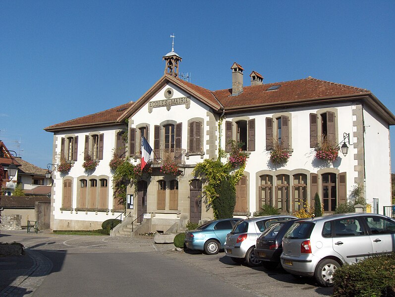
Margencel (Margencel)

- commune in Haute-Savoie, France
 Hiking in Margencel
Margencel is a charming small town located in the Haute-Savoie region of southeastern France, situated near the eastern shore of Lake Geneva. The area is known for its stunning natural landscapes, making it an appealing destination for hiking enthusiasts.
Hiking Trails in Margencel:
-
Lakeside Views: There are several trails that run along the shores of Lake Geneva, providing beautiful views of the water and the surrounding mountains. These trails are generally flat and suitable for all skill levels.
-
Forest Trails: The trails that weave through the forests surrounding Margencel offer opportunities for hiking amidst lush greenery and diverse wildlife. These paths can vary in difficulty, so it's advisable to check local maps for the best routes that suit your ability.
-
Mont-Blanc and Surrounding Mountains: If you’re willing to venture a bit further, the nearby mountains, including those in the Aravis and Chablais ranges, provide more challenging hiking opportunities with rewarding views of Mont-Blanc on clearer days.
-
Vineyards and Countryside: Some hiking routes take you through the local vineyards and pastoral landscapes, allowing you to experience the rural charm of the area. This can be a nice way to combine hiking with a little bit of local culture and possibly wine tasting.
Considerations:
-
Weather: The weather can change quickly in the mountains, so it’s crucial to check the forecast before you head out and be prepared with appropriate gear.
-
Local Guides: If you’re unfamiliar with the area, consider hiring a local guide who can provide insights and ensure you stay on marked trails.
-
Safety: Always carry plenty of water, snacks, and a map or GPS device. Make sure to let someone know your hiking plans for safety.
-
Leave No Trace: Enjoy nature while being mindful of your impact. Stick to marked trails and carry out any trash you bring with you.
Hiking in Margencel and its surroundings can be a delightful experience, with breathtaking scenery and a variety of trails to explore. Whether you're looking for a leisurely stroll along the lake or a challenging mountain trek, this area has something to offer every hiker.
- Country:

- Postal Code: 74200
- Coordinates: 46° 20' 17" N, 6° 25' 56" E


- GPS tracks (wikiloc): [Link]
- Area: 7.38 sq km
- Population: 2095
- Wikipedia en: wiki(en)
- Wikipedia: wiki(fr)
- Wikidata storage: Wikidata: Q829318
- Wikipedia Commons Category: [Link]
- Freebase ID: [/m/03ntzjf]
- GeoNames ID: Alt: [6442980]
- SIREN number: [217401637]
- BnF ID: [15274421p]
- PACTOLS thesaurus ID: [pcrtzWzlheP3DV]
- INSEE municipality code: 74163
Shares border with regions:

Anthy-sur-Léman
- commune in Haute-Savoie, France
Hiking in Anthy-sur-Léman
Anthy-sur-Léman, located in the Haute-Savoie region of France, near the shores of Lake Geneva, offers a picturesque setting for hiking enthusiasts. Here are some key points about hiking in this beautiful area:...
- Country:
- Postal Code: 74200
- Coordinates: 46° 21' 18" N, 6° 25' 37" E
- GPS tracks (wikiloc): [Link]
- Area: 4.62 sq km
- Population: 2141
- Web site: [Link]
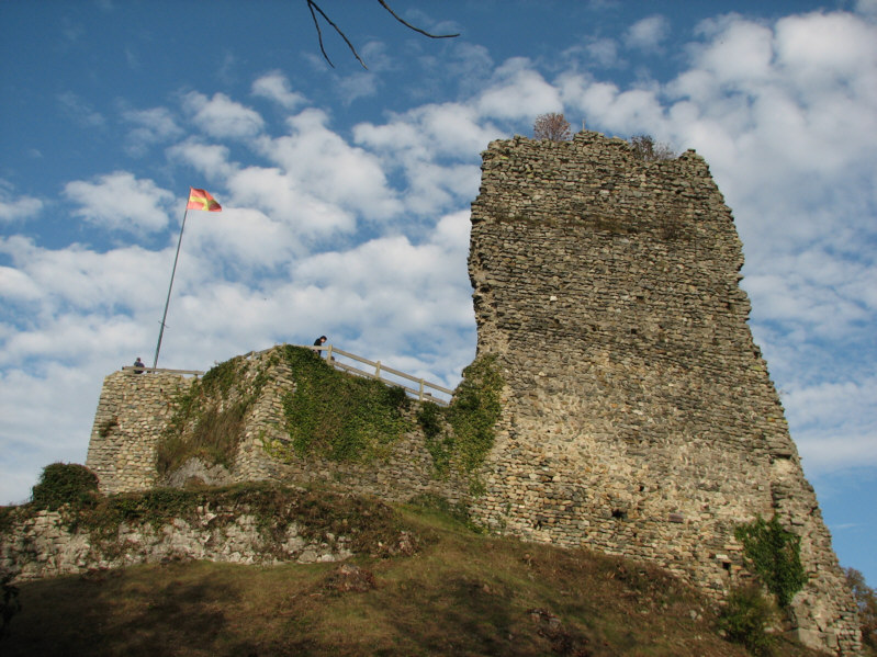

Allinges
- commune in Haute-Savoie, France
Hiking in Allinges
Allinges, a charming village in the Haute-Savoie region of France, is an excellent base for hiking enthusiasts looking to explore the stunning natural landscapes of the French Alps. While it may not be as well-known as other hiking destinations, it offers a variety of trails suitable for different skill levels, with breathtaking views of Lake Geneva and the surrounding mountains....
- Country:
- Postal Code: 74200
- Coordinates: 46° 20' 6" N, 6° 27' 48" E
- GPS tracks (wikiloc): [Link]
- Area: 15.01 sq km
- Population: 4364
- Web site: [Link]


Perrignier
- commune in Haute-Savoie, France
Hiking in Perrignier
Perrignier is a small commune located in the Haute-Savoie department in the Auvergne-Rhône-Alpes region of southeastern France. The area surrounding Perrignier is known for its beautiful landscapes, with opportunities for hiking and outdoor activities....
- Country:
- Postal Code: 74550
- Coordinates: 46° 18' 15" N, 6° 26' 34" E
- GPS tracks (wikiloc): [Link]
- Area: 7.85 sq km
- Population: 1780


Sciez
- commune in Haute-Savoie, France
Hiking in Sciez
Sciez, located in the Haute-Savoie region of France near the shores of Lake Geneva, offers a unique blend of scenic views, varied terrain, and cultural sites for hiking enthusiasts. Here are some highlights and tips for hiking in Sciez:...
- Country:
- Postal Code: 74140
- Coordinates: 46° 19' 55" N, 6° 22' 26" E
- GPS tracks (wikiloc): [Link]
- Area: 20.47 sq km
- Population: 5738
- Web site: [Link]