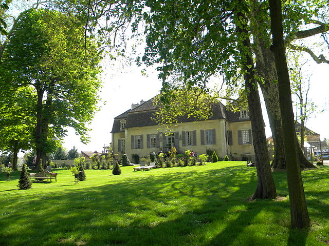
Marigny-lès-Reullée (Marigny-lès-Reullée)

- commune in Côte-d'Or, France
- Country:

- Postal Code: 21200
- Coordinates: 46° 59' 51" N, 4° 57' 50" E


- GPS tracks (wikiloc): [Link]
- Area: 10.02 sq km
- Population: 209
- Web site: http://marigny-les-reullee.fr/
- Wikipedia en: wiki(en)
- Wikipedia: wiki(fr)
- Wikidata storage: Wikidata: Q16178
- Wikipedia Commons Category: [Link]
- Freebase ID: [/m/03mftbh]
- GeoNames ID: Alt: [6428726]
- SIREN number: [212103873]
- INSEE municipality code: 21387
Shares border with regions:

Meursanges
- commune in Côte-d'Or, France
- Country:
- Postal Code: 21200
- Coordinates: 46° 59' 28" N, 4° 56' 43" E
- GPS tracks (wikiloc): [Link]
- Area: 14.26 sq km
- Population: 547

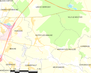
Ruffey-lès-Beaune
- commune in Côte-d'Or, France
- Country:
- Postal Code: 21200
- Coordinates: 47° 1' 8" N, 4° 54' 50" E
- GPS tracks (wikiloc): [Link]
- Area: 15.44 sq km
- Population: 696


Villy-le-Moutier
- commune in Côte-d'Or, France
- Country:
- Postal Code: 21250
- Coordinates: 47° 2' 15" N, 4° 59' 33" E
- GPS tracks (wikiloc): [Link]
- AboveSeaLevel: 188 м m
- Area: 20.13 sq km
- Population: 350
- Web site: [Link]


Corberon
- commune in Côte-d'Or, France
- Country:
- Postal Code: 21250
- Coordinates: 47° 0' 30" N, 4° 59' 40" E
- GPS tracks (wikiloc): [Link]
- Area: 11.72 sq km
- Population: 447
- Web site: [Link]


Corgengoux
- commune in Côte-d'Or, France
- Country:
- Postal Code: 21250
- Coordinates: 46° 59' 27" N, 4° 59' 18" E
- GPS tracks (wikiloc): [Link]
- Area: 12.53 sq km
- Population: 389
- Web site: [Link]