Marlhes (Marlhes)

- commune in Loire, France
- Country:

- Postal Code: 42660
- Coordinates: 45° 16' 59" N, 4° 23' 41" E


- GPS tracks (wikiloc): [Link]
- Area: 32.6 sq km
- Population: 1304
- Web site: http://42139.campagnol.fr/
- Wikipedia en: wiki(en)
- Wikipedia: wiki(fr)
- Wikidata storage: Wikidata: Q1116259
- Wikipedia Commons Category: [Link]
- Freebase ID: [/m/03nw9s7]
- Freebase ID: [/m/03nw9s7]
- GeoNames ID: Alt: [6434201]
- GeoNames ID: Alt: [6434201]
- SIREN number: [214201394]
- SIREN number: [214201394]
- BnF ID: [15259707r]
- BnF ID: [15259707r]
- INSEE municipality code: 42139
- INSEE municipality code: 42139
Shares border with regions:


Saint-Genest-Malifaux
- commune in Loire, France
- Country:
- Postal Code: 42660
- Coordinates: 45° 20' 24" N, 4° 25' 11" E
- GPS tracks (wikiloc): [Link]
- Area: 47.08 sq km
- Population: 2874
- Web site: [Link]
Jonzieux
- commune in Loire, France
- Country:
- Postal Code: 42660
- Coordinates: 45° 18' 49" N, 4° 21' 44" E
- GPS tracks (wikiloc): [Link]
- Area: 10.32 sq km
- Population: 1161
- Web site: [Link]


Saint-Régis-du-Coin
- commune in Loire, France
- Country:
- Postal Code: 42660
- Coordinates: 45° 17' 2" N, 4° 26' 39" E
- GPS tracks (wikiloc): [Link]
- Area: 20.4 sq km
- Population: 379

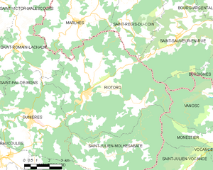
Riotord
- commune in Haute-Loire, France
- Country:
- Postal Code: 43220
- Coordinates: 45° 13' 54" N, 4° 24' 7" E
- GPS tracks (wikiloc): [Link]
- Area: 51.88 sq km
- Population: 1179


Saint-Victor-Malescours
- commune in Haute-Loire, France
- Country:
- Postal Code: 43140
- Coordinates: 45° 17' 30" N, 4° 18' 44" E
- GPS tracks (wikiloc): [Link]
- Area: 14.47 sq km
- Population: 829


Saint-Romain-Lachalm
- commune in Haute-Loire, France
- Country:
- Postal Code: 43620
- Coordinates: 45° 15' 58" N, 4° 20' 3" E
- GPS tracks (wikiloc): [Link]
- Area: 19.02 sq km
- Population: 1071