Marlioz (Marlioz)

- commune in Haute-Savoie, France
 Hiking in Marlioz
Marlioz, located in the Haute-Savoie region of France, is known for its stunning natural beauty and outdoor activities, including hiking. The area is characterized by its picturesque landscapes, featuring mountains, lush forests, and serene lakes.
Hiking in Marlioz
Trails
-
Scenic Routes: You'll find a variety of trails that cater to different skill levels, from easy walks suitable for families to more challenging hikes for experienced trekkers.
-
Local Highlights: Trails may take you past key points of interest such as the surrounding Alpine scenery, local flora and fauna, and possibly even historical sites that showcase the area's culture.
-
Lake Annecy Nearby: Since Marlioz is near Lake Annecy, you might consider combining your hiking trips with lakeside activities, such as swimming or picnicking.
Tips for Hiking in Marlioz
- Check the Weather: The weather can change rapidly in the mountains, so be sure to check the forecast before heading out.
- Dress in Layers: Temperatures can vary significantly between the base and higher elevations, so layer your clothing appropriately.
- Stay Hydrated: Always carry enough water, especially on longer hikes.
- Respect Nature: Stick to marked trails and be mindful of the local wildlife and vegetation.
Best Time to Hike
- Spring and Fall: Generally, these seasons offer mild weather and fewer crowds, making for a more enjoyable hiking experience.
- Summer: Although popular, it can be warmer, so plan your hikes for early morning or late afternoon to avoid the heat.
Guided Hikes
If you’re unfamiliar with the area, consider joining a guided hike. Local guides can provide valuable insights, ensure safety, and help you discover hidden gems.
Conclusion
Hiking in Marlioz offers a perfect blend of adventure and stunning scenery. Whether you're a beginner or an experienced hiker, there's something for everyone. Enjoy the beauty of the Haute-Savoie region and make the most of your outdoor experience!
- Country:

- Postal Code: 74270
- Coordinates: 46° 1' 55" N, 6° 0' 13" E


- GPS tracks (wikiloc): [Link]
- Area: 8.12 sq km
- Population: 924
- Web site: http://www.marlioz.fr/
- Wikipedia en: wiki(en)
- Wikipedia: wiki(fr)
- Wikidata storage: Wikidata: Q537466
- Wikipedia Commons Category: [Link]
- Freebase ID: [/m/03ntzn6]
- GeoNames ID: Alt: [6442985]
- SIREN number: [217401686]
- BnF ID: [15274426d]
- INSEE municipality code: 74168
Shares border with regions:

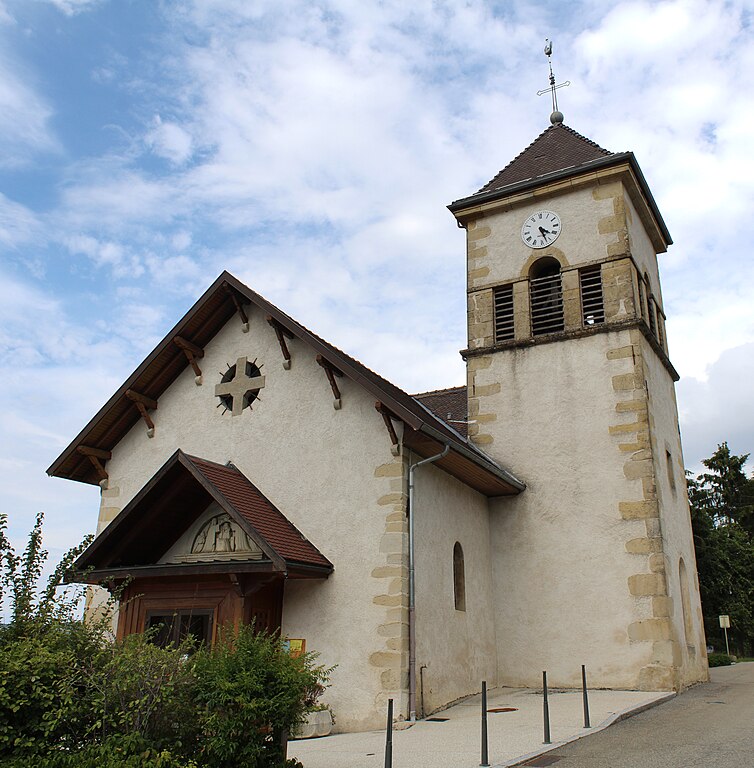
Choisy, Haute-Savoie
- commune in Haute-Savoie, France
Hiking in Choisy, Haute-Savoie
Choisy, located in the Haute-Savoie department in the Auvergne-Rhône-Alpes region of France, offers stunning hiking opportunities amid the picturesque landscapes of the French Alps. Here are some highlights and tips for hiking in Choisy:...
- Country:
- Postal Code: 74330
- Coordinates: 45° 59' 34" N, 6° 3' 27" E
- GPS tracks (wikiloc): [Link]
- Area: 16.57 sq km
- Population: 1558
- Web site: [Link]


Cernex
- commune in Haute-Savoie, France
Hiking in Cernex
Cernex is a picturesque village located in the Haute-Savoie region of France, close to the French Alps. While it may not be as widely recognized as some famous hiking destinations, it offers access to stunning natural landscapes and outdoor activities. Here are some insights into hiking in and around Cernex:...
- Country:
- Postal Code: 74350
- Coordinates: 46° 3' 51" N, 6° 3' 3" E
- GPS tracks (wikiloc): [Link]
- Area: 12.66 sq km
- Population: 974
- Web site: [Link]

Cercier
- commune in Haute-Savoie, France
Hiking in Cercier
Cercier, located in the scenic region of France, offers a variety of hiking opportunities that cater to different skill levels and preferences. The area is known for its beautiful landscapes, which include rolling hills, lush forests, and picturesque valleys. Here are some key points to consider when hiking in Cercier:...
- Country:
- Postal Code: 74350
- Coordinates: 46° 1' 31" N, 6° 2' 54" E
- GPS tracks (wikiloc): [Link]
- Area: 11.46 sq km
- Population: 655
- Web site: [Link]
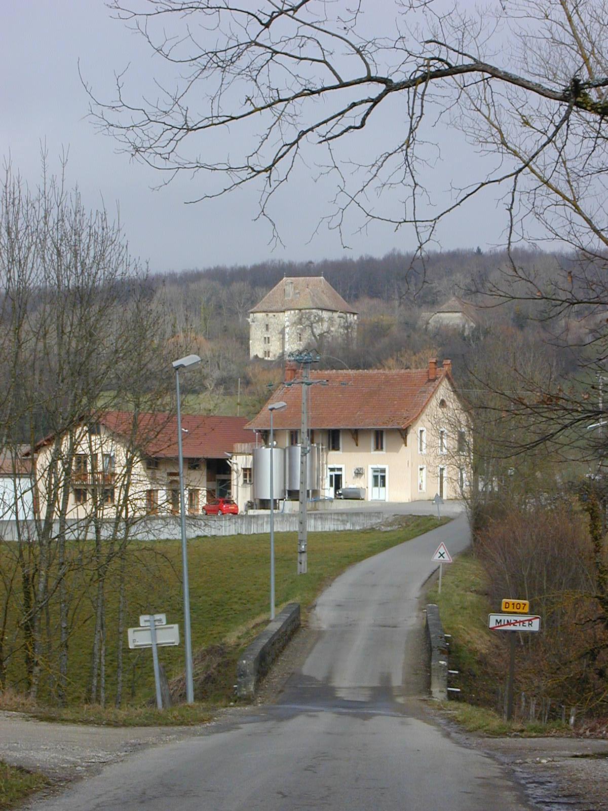

Minzier
- commune in Haute-Savoie, France
Hiking in Minzier
Minzier is a beautiful location in the Haute-Savoie region of France, nestled in the French Alps. Known for its stunning natural landscapes, it's a great destination for hiking enthusiasts. Here are some details to consider if you're planning a hike in Minzier:...
- Country:
- Postal Code: 74270
- Coordinates: 46° 3' 10" N, 5° 59' 20" E
- GPS tracks (wikiloc): [Link]
- Area: 8.79 sq km
- Population: 976


Sallenôves
- commune in Haute-Savoie, France
Hiking in Sallenôves
Sallenôves is a small commune located in the Auvergne-Rhône-Alpes region of southeastern France. While it may not be as widely known as some of the larger hiking destinations in the Alps, it offers a charming rural landscape and opportunities for outdoor activities....
- Country:
- Postal Code: 74270
- Coordinates: 46° 0' 20" N, 5° 59' 56" E
- GPS tracks (wikiloc): [Link]
- Area: 3.64 sq km
- Population: 649
- Web site: [Link]

Contamine-Sarzin
- commune in Haute-Savoie, France
Hiking in Contamine-Sarzin
Contamine-Sarzin is a charming village located in the French Alps, situated within the Haute-Savoie region. It offers a range of hiking paths that provide stunning views of the surrounding mountains and lush landscapes. Here are some details to consider when hiking in this area:...
- Country:
- Postal Code: 74270
- Coordinates: 46° 1' 28" N, 5° 58' 56" E
- GPS tracks (wikiloc): [Link]
- Area: 6.86 sq km
- Population: 681
- Web site: [Link]


Chavannaz
- commune in Haute-Savoie, France
Hiking in Chavannaz
Chavannaz is a picturesque area located in the Aosta Valley region of Italy, known for its stunning landscapes and hiking opportunities. While it's not as widely recognized as some other hiking destinations, it offers beautiful trails for both beginners and more experienced hikers. Here are some things to consider when hiking in Chavannaz:...
- Country:
- Postal Code: 74270
- Coordinates: 46° 3' 2" N, 6° 0' 58" E
- GPS tracks (wikiloc): [Link]
- Area: 3.17 sq km
- Population: 221
- Web site: [Link]