Mas-d'Auvignon (Mas-d'Auvignon)

- commune in Gers, France
- Country:

- Postal Code: 32700
- Coordinates: 43° 53' 27" N, 0° 30' 11" E


- GPS tracks (wikiloc): [Link]
- Area: 13.74 sq km
- Population: 175
- Wikipedia en: wiki(en)
- Wikipedia: wiki(fr)
- Wikidata storage: Wikidata: Q1006291
- Wikipedia Commons Category: [Link]
- Freebase ID: [/m/03nrr0n]
- GeoNames ID: Alt: [6431997]
- SIREN number: [213202419]
- BnF ID: [15255827p]
- INSEE municipality code: 32241
Shares border with regions:


La Sauvetat
- commune in Gers, France
- Country:
- Postal Code: 32500
- Coordinates: 43° 51' 13" N, 0° 31' 32" E
- GPS tracks (wikiloc): [Link]
- Area: 27.71 sq km
- Population: 351


Saint-Orens-Pouy-Petit
- commune in Gers, France
- Country:
- Postal Code: 32100
- Coordinates: 43° 55' 0" N, 0° 26' 2" E
- GPS tracks (wikiloc): [Link]
- Area: 11.31 sq km
- Population: 168

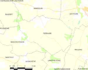
Terraube
- commune in Gers, France
- Country:
- Postal Code: 32700
- Coordinates: 43° 54' 23" N, 0° 33' 6" E
- GPS tracks (wikiloc): [Link]
- Area: 25.14 sq km
- Population: 383
- Web site: [Link]
Lamothe-Goas
- commune in Gers, France
- Country:
- Postal Code: 32500
- Coordinates: 43° 51' 53" N, 0° 33' 33" E
- GPS tracks (wikiloc): [Link]
- Area: 7.18 sq km
- Population: 76
Roquepine
- commune in Gers, France
- Country:
- Postal Code: 32100
- Coordinates: 43° 54' 41" N, 0° 28' 5" E
- GPS tracks (wikiloc): [Link]
- Area: 3.77 sq km
- Population: 43

Blaziert
- commune in Gers, France
- Country:
- Postal Code: 32100
- Coordinates: 43° 56' 3" N, 0° 28' 37" E
- GPS tracks (wikiloc): [Link]
- Area: 10.97 sq km
- Population: 137

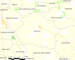
Saint-Puy
- commune in Gers, France
- Country:
- Postal Code: 32310
- Coordinates: 43° 52' 35" N, 0° 27' 44" E
- GPS tracks (wikiloc): [Link]
- Area: 36.88 sq km
- Population: 592
- Web site: [Link]