Meauzac (Meauzac)

- commune in Tarn-et-Garonne, France
- Country:

- Postal Code: 82290
- Coordinates: 44° 5' 19" N, 1° 14' 22" E


- GPS tracks (wikiloc): [Link]
- Area: 11.77 sq km
- Population: 1351
- Web site: http://www.meauzac.fr
- Wikipedia en: wiki(en)
- Wikipedia: wiki(fr)
- Wikidata storage: Wikidata: Q1613716
- Wikipedia Commons Category: [Link]
- Freebase ID: [/m/03qg1st]
- Freebase ID: [/m/03qg1st]
- GeoNames ID: Alt: [6444995]
- GeoNames ID: Alt: [6444995]
- SIREN number: [218201085]
- SIREN number: [218201085]
- BnF ID: [15277740h]
- BnF ID: [15277740h]
- INSEE municipality code: 82108
- INSEE municipality code: 82108
Shares border with regions:
Barry-d'Islemade
- commune in Tarn-et-Garonne, France
- Country:
- Postal Code: 82290
- Coordinates: 44° 4' 33" N, 1° 14' 42" E
- GPS tracks (wikiloc): [Link]
- Area: 11.35 sq km
- Population: 924

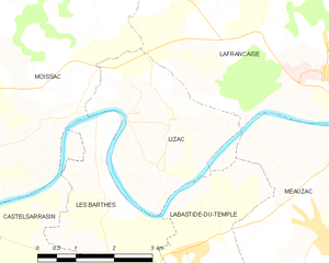
Lizac
- commune in Tarn-et-Garonne, France
- Country:
- Postal Code: 82200
- Coordinates: 44° 6' 19" N, 1° 11' 12" E
- GPS tracks (wikiloc): [Link]
- Area: 9.42 sq km
- Population: 501

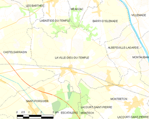
La Ville-Dieu-du-Temple
- commune in Tarn-et-Garonne, France
- Country:
- Postal Code: 82290
- Coordinates: 44° 2' 5" N, 1° 13' 1" E
- GPS tracks (wikiloc): [Link]
- Area: 26.16 sq km
- Population: 3187
- Web site: [Link]


Lafrançaise
- commune in Tarn-et-Garonne, France
- Country:
- Postal Code: 82130
- Coordinates: 44° 7' 40" N, 1° 14' 26" E
- GPS tracks (wikiloc): [Link]
- Area: 50.82 sq km
- Population: 2877
- Web site: [Link]


Labastide-du-Temple
- commune in Tarn-et-Garonne, France
- Country:
- Postal Code: 82100
- Coordinates: 44° 5' 5" N, 1° 11' 42" E
- GPS tracks (wikiloc): [Link]
- Area: 10.92 sq km
- Population: 1159
- Web site: [Link]