
Melle (Melle)

- commune in Deux-Sèvres, France
- Country:

- Postal Code: 79500
- Coordinates: 46° 13' 19" N, 0° 8' 42" E


- GPS tracks (wikiloc): [Link]
- AboveSeaLevel: 119 м m
- Area: 9.76 sq km
- Population: 3607
- Web site: http://www.ville-melle.fr/
- Wikipedia en: wiki(en)
- Wikipedia: wiki(fr)
- Wikidata storage: Wikidata: Q634108
- Wikipedia Commons Category: [Link]
- Freebase ID: [/m/05k0x2]
- GeoNames ID: Alt: [6454743]
- SIREN number: [217901743]
- BnF ID: [152763091]
- VIAF ID: Alt: [132285452]
- PACTOLS thesaurus ID: [pcrtt7oKbJj4pR]
- SUDOC authorities ID: [031023649]
- INSEE municipality code: 79174
Shares border with regions:


Celles-sur-Belle
- commune in Deux-Sèvres, France
- Country:
- Postal Code: 79370
- Coordinates: 46° 15' 43" N, 0° 12' 40" E
- GPS tracks (wikiloc): [Link]
- Area: 41.37 sq km
- Population: 3752
- Web site: [Link]
Pouffonds
- commune in Deux-Sèvres, France
- Country:
- Postal Code: 79500
- Coordinates: 46° 12' 17" N, 0° 6' 46" E
- GPS tracks (wikiloc): [Link]
- Area: 7.15 sq km
- Population: 410
- Web site: [Link]

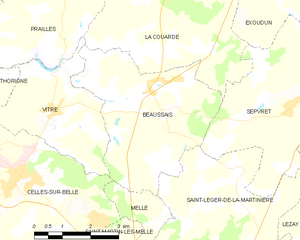
Beaussais-Vitré
- commune in Deux-Sèvres, France
- Country:
- Postal Code: 79370
- Coordinates: 46° 17' 25" N, 0° 9' 10" E
- GPS tracks (wikiloc): [Link]
- Area: 25.62 sq km
- Population: 989


Saint-Génard
- commune in Deux-Sèvres, France
- Country:
- Postal Code: 79500
- Coordinates: 46° 10' 55" N, 0° 8' 6" E
- GPS tracks (wikiloc): [Link]
- Area: 11.07 sq km
- Population: 352
- Web site: [Link]


Saint-Martin-lès-Melle
- commune in Deux-Sèvres, France
- Country:
- Postal Code: 79500
- Coordinates: 46° 13' 14" N, 0° 9' 55" E
- GPS tracks (wikiloc): [Link]
- Area: 9.16 sq km
- Population: 876
- Web site: [Link]

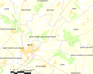
Saint-Léger-de-la-Martinière
- commune in Deux-Sèvres, France
- Country:
- Postal Code: 79500
- Coordinates: 46° 13' 39" N, 0° 7' 30" E
- GPS tracks (wikiloc): [Link]
- AboveSeaLevel: 160 м m
- Area: 25.64 sq km
- Population: 988
- Web site: [Link]