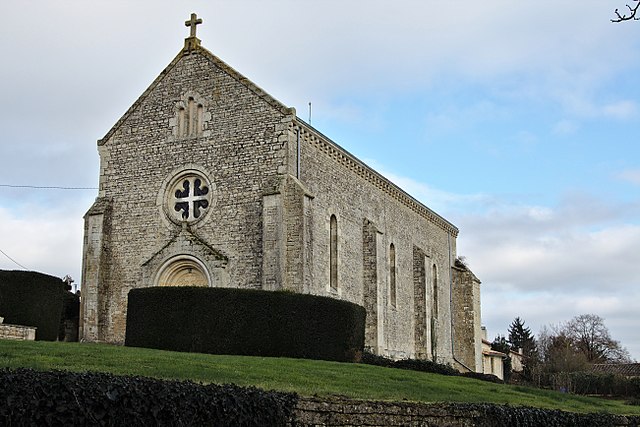
Saint-Génard (Saint-Génard)

- commune in Deux-Sèvres, France
- Country:

- Postal Code: 79500
- Coordinates: 46° 10' 55" N, 0° 8' 6" E


- GPS tracks (wikiloc): [Link]
- Area: 11.07 sq km
- Population: 352
- Web site: http://saint-genard-mairie.e-monsite.com/
- Wikipedia en: wiki(en)
- Wikipedia: wiki(fr)
- Wikidata storage: Wikidata: Q631644
- Wikipedia Commons Category: [Link]
- Freebase ID: [/m/03mg3xd]
- GeoNames ID: Alt: [6444197]
- SIREN number: [217902519]
- BnF ID: [15276386g]
- INSEE municipality code: 79251
Shares border with regions:
Chail
- commune in Deux-Sèvres, France
- Country:
- Postal Code: 79500
- Coordinates: 46° 12' 22" N, 0° 4' 29" E
- GPS tracks (wikiloc): [Link]
- Area: 12.6 sq km
- Population: 513
- Web site: [Link]

Paizay-le-Tort
- commune in Deux-Sèvres, France
- Country:
- Postal Code: 79500
- Coordinates: 46° 10' 46" N, 0° 9' 47" E
- GPS tracks (wikiloc): [Link]
- Area: 11.28 sq km
- Population: 484
- Web site: [Link]


Sompt
- commune in Deux-Sèvres, France
- Country:
- Postal Code: 79110
- Coordinates: 46° 9' 28" N, 0° 6' 9" E
- GPS tracks (wikiloc): [Link]
- Area: 12.09 sq km
- Population: 349
Pouffonds
- commune in Deux-Sèvres, France
- Country:
- Postal Code: 79500
- Coordinates: 46° 12' 17" N, 0° 6' 46" E
- GPS tracks (wikiloc): [Link]
- Area: 7.15 sq km
- Population: 410
- Web site: [Link]


Tillou
- commune in Deux-Sèvres, France
- Country:
- Postal Code: 79110
- Coordinates: 46° 9' 3" N, 0° 7' 18" E
- GPS tracks (wikiloc): [Link]
- Area: 10.04 sq km
- Population: 335
- Web site: [Link]


Melle
- commune in Deux-Sèvres, France
- Country:
- Postal Code: 79500
- Coordinates: 46° 13' 19" N, 0° 8' 42" E
- GPS tracks (wikiloc): [Link]
- AboveSeaLevel: 119 м m
- Area: 9.76 sq km
- Population: 3607
- Web site: [Link]


Saint-Martin-lès-Melle
- commune in Deux-Sèvres, France
- Country:
- Postal Code: 79500
- Coordinates: 46° 13' 14" N, 0° 9' 55" E
- GPS tracks (wikiloc): [Link]
- Area: 9.16 sq km
- Population: 876
- Web site: [Link]