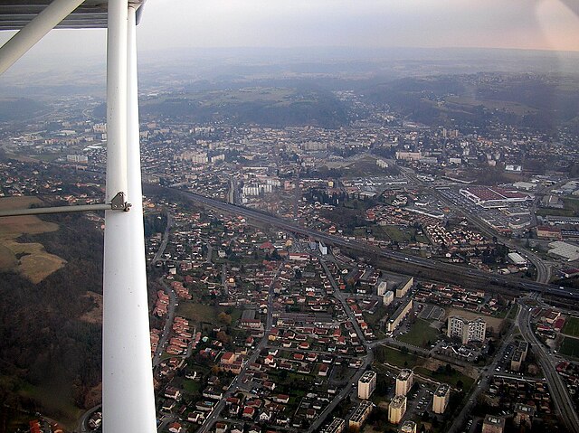
Meyrié (Meyrié)

- commune in Isère, France
 Hiking in Meyrié
Meyrié is a lesser-known gem for hikers, often appreciated for its natural beauty and tranquility. Located in the French Alps, it offers a range of hiking trails suitable for different skill levels, from leisurely strolls to more challenging treks.
Key Highlights of Hiking in Meyrié:
-
Stunning Scenery: The region is characterized by lush alpine meadows, dramatic mountain vistas, and clear lakes, making it a picturesque spot for photography and relaxation.
-
Varied Trails: Whether you're looking for short day hikes or multi-day backpacking routes, Meyrié has a variety of trails. Some popular options include loops around local lakes and ascents to mountain peaks.
-
Wildlife Watching: The area is home to diverse flora and fauna, including opportunities to see alpine wildlife such as ibex, chamois, and various bird species, which can enhance the hiking experience.
-
Cultural Insights: Trails often lead through small villages, providing a chance to experience the local culture, cuisine, and hospitality. You might encounter traditional chalets and agricultural landscapes.
-
Accessibility: While Meyrié might not be as busy as other major hiking destinations, it is accessible from larger towns in the Alps, making it a convenient stop for hikers looking for a quieter experience.
Tips for Hiking in Meyrié:
- Check Trail Conditions: Always verify trail conditions and weather forecasts before heading out, especially in alpine regions where weather can change quickly.
- Proper Gear: Make sure to wear suitable hiking footwear and bring layers, as temperatures can vary significantly throughout the day.
- Stay Hydrated: As with any hike, ensure you have plenty of water and some snacks for energy.
- Local Guidelines: Respect local regulations regarding wildlife and vegetation, and follow Leave No Trace principles to preserve the natural beauty of the area.
In conclusion, hiking in Meyrié can offer a rewarding experience for outdoor enthusiasts looking to explore the beauty of the French Alps in a more secluded setting.
- Country:

- Postal Code: 38300
- Coordinates: 45° 33' 34" N, 5° 17' 14" E


- GPS tracks (wikiloc): [Link]
- Area: 3.43 sq km
- Population: 1022
- Web site: http://www.meyrie-village.com
- Wikipedia en: wiki(en)
- Wikipedia: wiki(fr)
- Wikidata storage: Wikidata: Q1069830
- Wikipedia Commons Category: [Link]
- Freebase ID: [/m/03nvggv]
- GeoNames ID: Alt: [6433241]
- SIREN number: [213802309]
- MusicBrainz area ID: [9c9014ba-cf7f-4c57-940e-3e606bef26b4]
- INSEE municipality code: 38230
Shares border with regions:


Saint-Agnin-sur-Bion
- commune in Isère, France
Hiking in Saint-Agnin-sur-Bion
Saint-Agnin-sur-Bion is a small commune located in the Auvergne-Rhône-Alpes region of France, known for its beautiful natural landscapes and opportunities for outdoor activities, including hiking....
- Country:
- Postal Code: 38300
- Coordinates: 45° 32' 26" N, 5° 14' 39" E
- GPS tracks (wikiloc): [Link]
- Area: 9.7 sq km
- Population: 993
- Web site: [Link]


Nivolas-Vermelle
- commune in Isère, France
Hiking in Nivolas-Vermelle
Nivolas-Vermelle is a charming commune located in the Auvergne-Rhône-Alpes region of southeastern France. While it may not be as widely known for hiking as some other regions in the Alps, it still offers beautiful natural surroundings and various outdoor activities....
- Country:
- Postal Code: 38300
- Coordinates: 45° 33' 24" N, 5° 18' 23" E
- GPS tracks (wikiloc): [Link]
- Area: 6.09 sq km
- Population: 2536
- Web site: [Link]


Maubec
- commune in Isère, France
Hiking in Maubec
Maubec, a small commune in the department of Isère in the Auvergne-Rhône-Alpes region of France, offers a charming backdrop for hiking enthusiasts. Nestled in the picturesque French Alps, it provides access to a variety of trails suitable for different skill levels, ranging from easy walks to more challenging hikes....
- Country:
- Postal Code: 38300
- Coordinates: 45° 34' 6" N, 5° 15' 57" E
- GPS tracks (wikiloc): [Link]
- Area: 8.57 sq km
- Population: 1704
- Web site: [Link]


Les Éparres
- commune in Isère, France
Hiking in Les Éparres
Les Éparres, located in the southeastern region of France near the Vercors Massif, offers beautiful landscapes and a variety of hiking trails suitable for different skill levels. The area is characterized by its stunning views, diverse flora and fauna, and the unique geological features of the region....
- Country:
- Postal Code: 38300
- Coordinates: 45° 32' 1" N, 5° 17' 34" E
- GPS tracks (wikiloc): [Link]
- Area: 7.95 sq km
- Population: 987

Bourgoin-Jallieu
- commune in Isère, France
Hiking in Bourgoin-Jallieu
Bourgoin-Jallieu, located in the Auvergne-Rhône-Alpes region of eastern France, offers a variety of hiking opportunities for outdoor enthusiasts. The town is nestled between the Isère River and the Chartreuse Mountains, providing both flat terrain and more challenging trails....
- Country:
- Postal Code: 38300
- Coordinates: 45° 35' 27" N, 5° 16' 45" E
- GPS tracks (wikiloc): [Link]
- AboveSeaLevel: 254 м m
- Area: 24.37 sq km
- Population: 27502
- Web site: [Link]