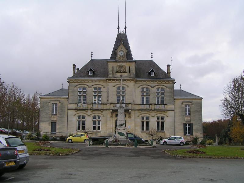
Migron (Migron)

- commune in Charente-Maritime, France
- Country:

- Postal Code: 17770
- Coordinates: 45° 48' 10" N, 0° 23' 50" E


- GPS tracks (wikiloc): [Link]
- Area: 15.06 sq km
- Population: 731
- Web site: http://migron17.fr
- Wikipedia en: wiki(en)
- Wikipedia: wiki(fr)
- Wikidata storage: Wikidata: Q949386
- Wikipedia Commons Category: [Link]
- Freebase ID: [/m/03mch_g]
- GeoNames ID: Alt: [6428001]
- SIREN number: [211702352]
- BnF ID: [152490962]
- INSEE municipality code: 17235
Shares border with regions:

Burie
- commune in Charente-Maritime, France
- Country:
- Postal Code: 17770
- Coordinates: 45° 46' 21" N, 0° 25' 20" E
- GPS tracks (wikiloc): [Link]
- Area: 9.19 sq km
- Population: 1264


Brizambourg
- commune in Charente-Maritime, France
- Country:
- Postal Code: 17770
- Coordinates: 45° 49' 20" N, 0° 28' 50" E
- GPS tracks (wikiloc): [Link]
- Area: 21.26 sq km
- Population: 872


Aujac
- commune in Charente-Maritime, France
- Country:
- Postal Code: 17770
- Coordinates: 45° 50' 39" N, 0° 23' 44" E
- GPS tracks (wikiloc): [Link]
- Area: 8.73 sq km
- Population: 349

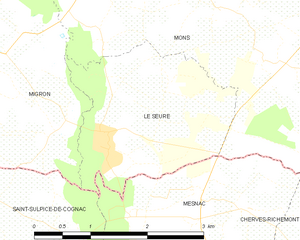
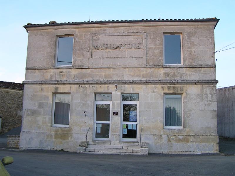
Le Seure
- commune in Charente-Maritime, France
- Country:
- Postal Code: 17770
- Coordinates: 45° 47' 25" N, 0° 22' 0" E
- GPS tracks (wikiloc): [Link]
- Area: 5.68 sq km
- Population: 251


Courcerac
- commune in Charente-Maritime, France
- Country:
- Postal Code: 17160
- Coordinates: 45° 50' 29" N, 0° 21' 55" E
- GPS tracks (wikiloc): [Link]
- Area: 6.2 sq km
- Population: 308

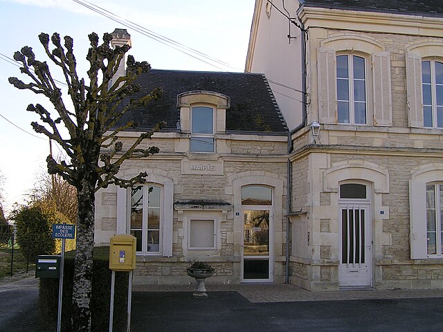
Villars-les-Bois
- commune in Charente-Maritime, France
- Country:
- Postal Code: 17770
- Coordinates: 45° 47' 57" N, 0° 26' 13" E
- GPS tracks (wikiloc): [Link]
- Area: 8.6 sq km
- Population: 267
- Web site: [Link]


Authon-Ébéon
- commune in Charente-Maritime, France
- Country:
- Postal Code: 17770
- Coordinates: 45° 50' 10" N, 0° 24' 30" E
- GPS tracks (wikiloc): [Link]
- AboveSeaLevel: 30 м m
- Area: 11.65 sq km
- Population: 402


Saint-Sulpice-de-Cognac
- commune in Charente, France
- Country:
- Postal Code: 16370
- Coordinates: 45° 45' 35" N, 0° 22' 55" E
- GPS tracks (wikiloc): [Link]
- Area: 23.82 sq km
- Population: 1237

Mons
- commune in Charente-Maritime, France
- Country:
- Postal Code: 17160
- Coordinates: 45° 49' 14" N, 0° 20' 44" E
- GPS tracks (wikiloc): [Link]
- Area: 15.63 sq km
- Population: 431


Bercloux
- commune in Charente-Maritime, France
- Country:
- Postal Code: 17770
- Coordinates: 45° 50' 7" N, 0° 28' 17" E
- GPS tracks (wikiloc): [Link]
- Area: 9.35 sq km
- Population: 442