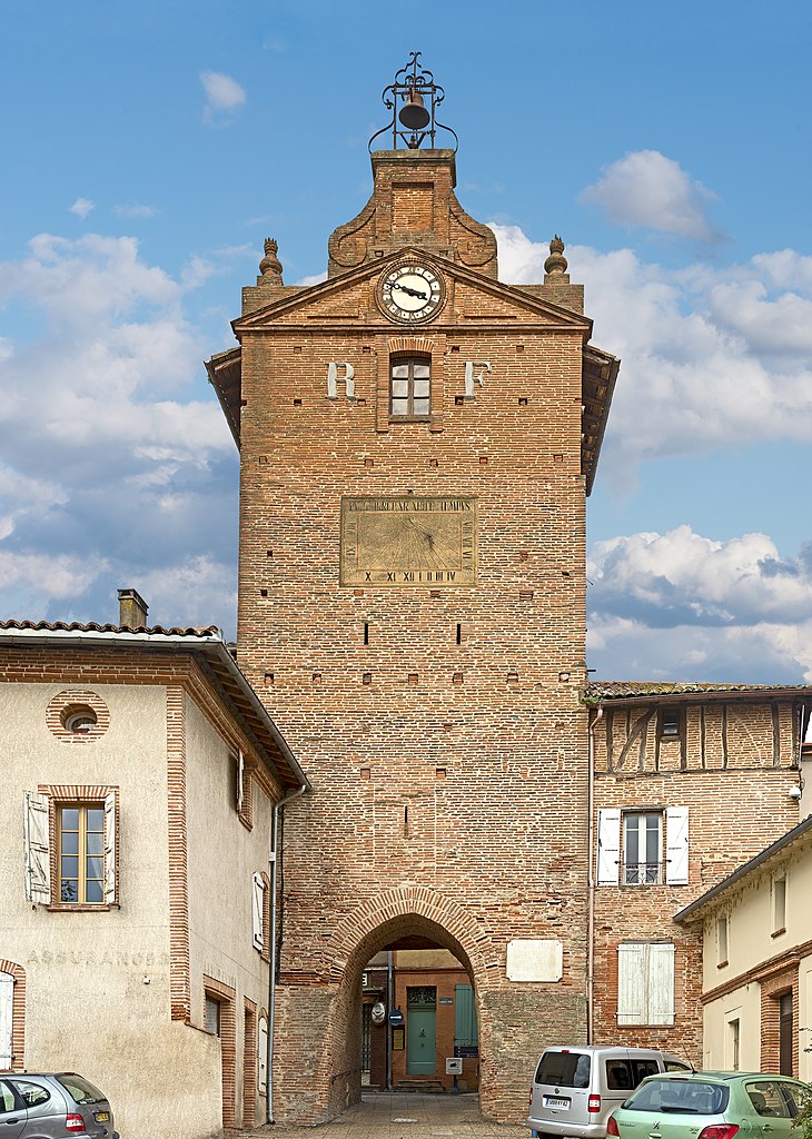
Monbéqui (Monbéqui)

- commune in Tarn-et-Garonne, France
- Country:

- Postal Code: 82170
- Coordinates: 43° 53' 33" N, 1° 14' 23" E


- GPS tracks (wikiloc): [Link]
- Area: 6.78 sq km
- Population: 625
- Web site: http://www.monbequi.fr/
- Wikipedia en: wiki(en)
- Wikipedia: wiki(fr)
- Wikidata storage: Wikidata: Q1613695
- Wikipedia Commons Category: [Link]
- Freebase ID: [/m/03qg24v]
- Freebase ID: [/m/03qg24v]
- GeoNames ID: Alt: [6445000]
- GeoNames ID: Alt: [6445000]
- SIREN number: [218201143]
- SIREN number: [218201143]
- INSEE municipality code: 82114
- INSEE municipality code: 82114
Shares border with regions:


Mas-Grenier
- commune in Tarn-et-Garonne, France
- Country:
- Postal Code: 82600
- Coordinates: 43° 53' 26" N, 1° 11' 47" E
- GPS tracks (wikiloc): [Link]
- Area: 24.66 sq km
- Population: 1351
- Web site: [Link]


Montbartier
- commune in Tarn-et-Garonne, France
- Country:
- Postal Code: 82700
- Coordinates: 43° 54' 46" N, 1° 16' 22" E
- GPS tracks (wikiloc): [Link]
- Area: 15.01 sq km
- Population: 1253


Finhan
- commune in Tarn-et-Garonne, France
- Country:
- Postal Code: 82700
- Coordinates: 43° 54' 45" N, 1° 13' 14" E
- GPS tracks (wikiloc): [Link]
- Area: 11.48 sq km
- Population: 1513
- Web site: [Link]

Verdun-sur-Garonne
- commune in Tarn-et-Garonne, France
- Country:
- Postal Code: 82600
- Coordinates: 43° 51' 11" N, 1° 14' 9" E
- GPS tracks (wikiloc): [Link]
- Area: 36.26 sq km
- Population: 4727
- Web site: [Link]


Bessens
- commune in Tarn-et-Garonne, France
- Country:
- Postal Code: 82170
- Coordinates: 43° 52' 47" N, 1° 15' 8" E
- GPS tracks (wikiloc): [Link]
- Area: 9.27 sq km
- Population: 1474