Moncé-en-Belin (Moncé-en-Belin)

- commune in Sarthe, France
- Country:

- Postal Code: 72230
- Coordinates: 47° 53' 41" N, 0° 11' 53" E


- GPS tracks (wikiloc): [Link]
- Area: 17.49 sq km
- Population: 3620
- Web site: http://www.monce-en-belin.com
- Wikipedia en: wiki(en)
- Wikipedia: wiki(fr)
- Wikidata storage: Wikidata: Q741288
- Wikipedia Commons Category: [Link]
- Freebase ID: [/m/03qh_xg]
- GeoNames ID: Alt: [6442623]
- SIREN number: [217202001]
- BnF ID: [15273755k]
- VIAF ID: Alt: [145454547]
- SUDOC authorities ID: [035786930]
- INSEE municipality code: 72200
Shares border with regions:

Mulsanne
- commune in Sarthe, France
- Country:
- Postal Code: 72230
- Coordinates: 47° 54' 42" N, 0° 14' 56" E
- GPS tracks (wikiloc): [Link]
- Area: 15.25 sq km
- Population: 5088
- Web site: [Link]


Saint-Gervais-en-Belin
- commune in Sarthe, France
- Country:
- Postal Code: 72220
- Coordinates: 47° 52' 38" N, 0° 13' 7" E
- GPS tracks (wikiloc): [Link]
- Area: 9.53 sq km
- Population: 2111
- Web site: [Link]


Yvré-le-Pôlin
- commune in Sarthe, France
- Country:
- Postal Code: 72330
- Coordinates: 47° 49' 9" N, 0° 9' 10" E
- GPS tracks (wikiloc): [Link]
- Area: 21.84 sq km
- Population: 1761
- Web site: [Link]

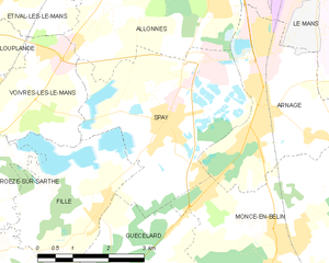
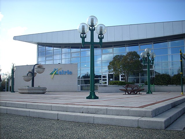
Spay, Sarthe
- commune in Sarthe, France
- Country:
- Postal Code: 72700
- Coordinates: 47° 55' 24" N, 0° 9' 3" E
- GPS tracks (wikiloc): [Link]
- Area: 14.22 sq km
- Population: 2898
- Web site: [Link]


Laigné-en-Belin
- commune in Sarthe, France
- Country:
- Postal Code: 72220
- Coordinates: 47° 52' 41" N, 0° 13' 47" E
- GPS tracks (wikiloc): [Link]
- Area: 12.72 sq km
- Population: 2399
- Web site: [Link]


Arnage
- commune in Sarthe, France
- Country:
- Postal Code: 72230
- Coordinates: 47° 55' 34" N, 0° 11' 16" E
- GPS tracks (wikiloc): [Link]
- Area: 10.76 sq km
- Population: 5191
- Web site: [Link]


Guécélard
- commune in Sarthe, France
- Country:
- Postal Code: 72230
- Coordinates: 47° 52' 33" N, 0° 7' 46" E
- GPS tracks (wikiloc): [Link]
- Area: 12.18 sq km
- Population: 2976
- Web site: [Link]