Montagny-lès-Beaune (Montagny-lès-Beaune)

- commune in Côte-d'Or, France
- Country:

- Postal Code: 21200
- Coordinates: 46° 59' 28" N, 4° 50' 58" E


- GPS tracks (wikiloc): [Link]
- Area: 6.04 sq km
- Population: 669
- Web site: http://www.montagny-les-beaune.fr
- Wikipedia en: wiki(en)
- Wikipedia: wiki(fr)
- Wikidata storage: Wikidata: Q16191
- Wikipedia Commons Category: [Link]
- Freebase ID: [/m/03mftq5]
- GeoNames ID: Alt: [6428754]
- SIREN number: [212104236]
- BnF ID: [15250710g]
- INSEE municipality code: 21423
Shares border with regions:
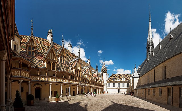

Beaune
- commune in Côte-d'Or, France
- Country:
- Postal Code: 21200
- Coordinates: 47° 1' 27" N, 4° 50' 20" E
- GPS tracks (wikiloc): [Link]
- AboveSeaLevel: 407 м m
- Area: 31.3 sq km
- Population: 21661
- Web site: [Link]


Bligny-lès-Beaune
- commune in Côte-d'Or, France
- Country:
- Postal Code: 21200
- Coordinates: 46° 59' 13" N, 4° 49' 30" E
- GPS tracks (wikiloc): [Link]
- Area: 7.3 sq km
- Population: 1244


Levernois
- commune in Côte-d'Or, France
- Country:
- Postal Code: 21200
- Coordinates: 46° 59' 44" N, 4° 52' 23" E
- GPS tracks (wikiloc): [Link]
- Area: 3.73 sq km
- Population: 306


Merceuil
- commune in Côte-d'Or, France
- Country:
- Postal Code: 21190
- Coordinates: 46° 56' 57" N, 4° 50' 30" E
- GPS tracks (wikiloc): [Link]
- Area: 13.8 sq km
- Population: 818


Sainte-Marie-la-Blanche
- commune in Côte-d'Or, France
- Country:
- Postal Code: 21200
- Coordinates: 46° 58' 40" N, 4° 53' 28" E
- GPS tracks (wikiloc): [Link]
- Area: 6.79 sq km
- Population: 864
- Web site: [Link]