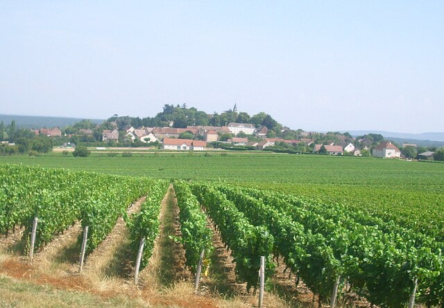
Montagny-lès-Buxy (Montagny-lès-Buxy)

- commune in Saône-et-Loire, France
- Country:

- Postal Code: 71390
- Coordinates: 46° 42' 23" N, 4° 40' 13" E


- GPS tracks (wikiloc): [Link]
- Area: 5.27 sq km
- Population: 219
- Wikipedia en: wiki(en)
- Wikipedia: wiki(fr)
- Wikidata storage: Wikidata: Q288047
- Wikipedia Commons Category: [Link]
- Wikipedia Commons Maps Category: [Link]
- Freebase ID: [/m/03qh0nk]
- Freebase ID: [/m/03qh0nk]
- GeoNames ID: Alt: [6442322]
- GeoNames ID: Alt: [6442322]
- SIREN number: [217103027]
- SIREN number: [217103027]
- BnF ID: [152732734]
- BnF ID: [152732734]
- VIAF ID: Alt: [133749912]
- VIAF ID: Alt: [133749912]
- Library of Congress authority ID: Alt: [n85033706]
- Library of Congress authority ID: Alt: [n85033706]
- INSEE municipality code: 71302
- INSEE municipality code: 71302
Shares border with regions:


Bissey-sous-Cruchaud
- commune in Saône-et-Loire, France
- Country:
- Postal Code: 71390
- Coordinates: 46° 43' 54" N, 4° 41' 2" E
- GPS tracks (wikiloc): [Link]
- Area: 11.22 sq km
- Population: 343


Cersot
- commune in Saône-et-Loire, France
- Country:
- Postal Code: 71390
- Coordinates: 46° 42' 34" N, 4° 37' 53" E
- GPS tracks (wikiloc): [Link]
- Area: 6.02 sq km
- Population: 138

Jully-lès-Buxy
- commune in Saône-et-Loire, France
- Country:
- Postal Code: 71390
- Coordinates: 46° 41' 25" N, 4° 41' 44" E
- GPS tracks (wikiloc): [Link]
- Area: 16.63 sq km
- Population: 359
- Web site: [Link]


Sassangy
- commune in Saône-et-Loire, France
- Country:
- Postal Code: 71390
- Coordinates: 46° 43' 13" N, 4° 38' 22" E
- GPS tracks (wikiloc): [Link]
- Area: 6.25 sq km
- Population: 153


Saint-Vallerin
- commune in Saône-et-Loire, France
- Country:
- Postal Code: 71390
- Coordinates: 46° 41' 12" N, 4° 40' 25" E
- GPS tracks (wikiloc): [Link]
- Area: 6.73 sq km
- Population: 267


Buxy
- commune in Saône-et-Loire, France
- Country:
- Postal Code: 71390
- Coordinates: 46° 42' 42" N, 4° 41' 48" E
- GPS tracks (wikiloc): [Link]
- AboveSeaLevel: 266 м m
- Area: 11.92 sq km
- Population: 2101