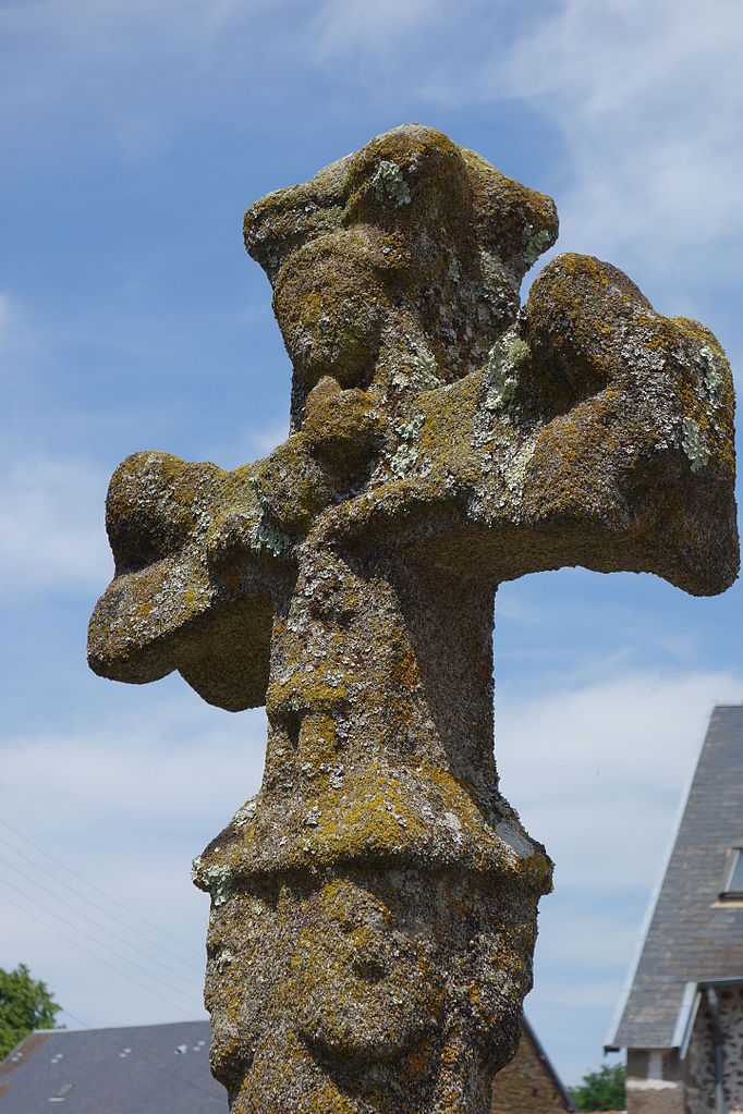
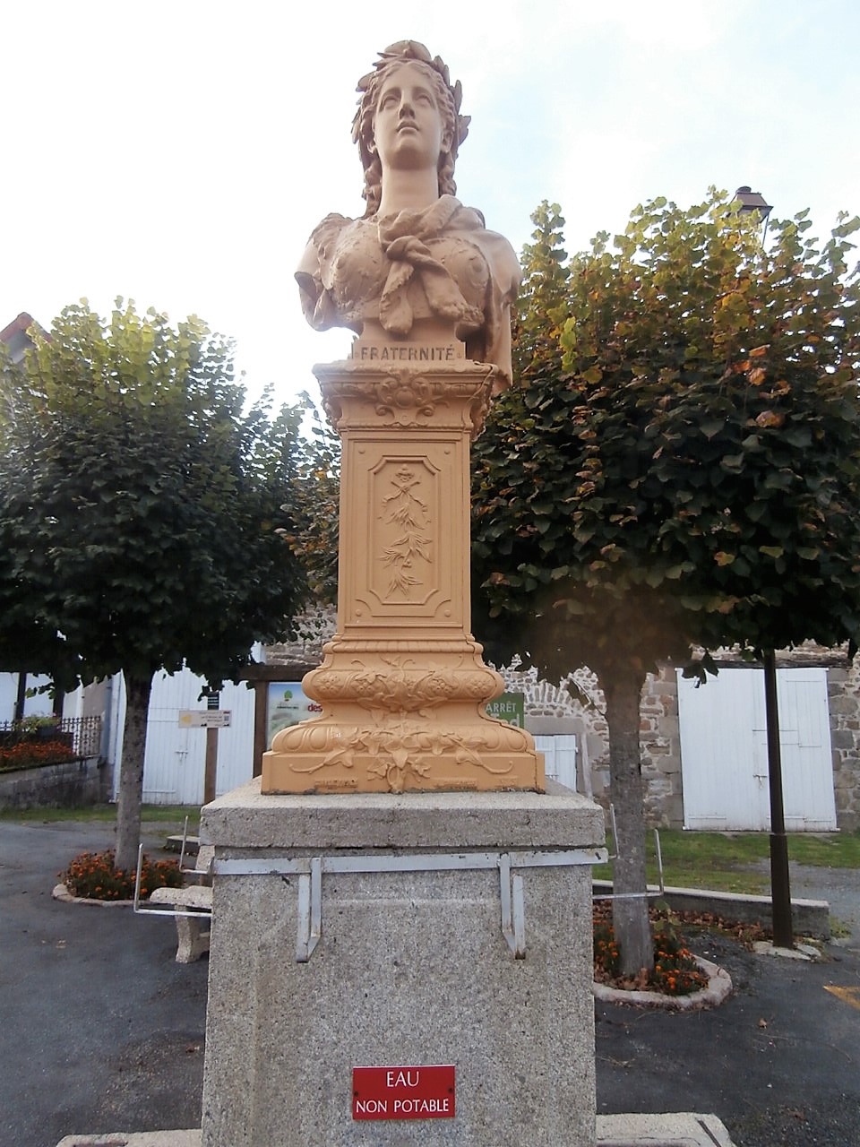
Montaigut-le-Blanc (Montaigut-le-Blanc)

- commune in Creuse, France
- Country:

- Postal Code: 23320
- Coordinates: 46° 7' 16" N, 1° 44' 6" E


- GPS tracks (wikiloc): [Link]
- Area: 17.23 sq km
- Population: 400
- Wikipedia en: wiki(en)
- Wikipedia: wiki(fr)
- Wikidata storage: Wikidata: Q1016121
- Wikipedia Commons Category: [Link]
- Freebase ID: [/m/03mfjw8]
- Freebase ID: [/m/03mfjw8]
- GeoNames ID: Alt: [6429227]
- GeoNames ID: Alt: [6429227]
- SIREN number: [212313209]
- SIREN number: [212313209]
- BnF ID: [15251520g]
- BnF ID: [15251520g]
- INSEE municipality code: 23132
- INSEE municipality code: 23132
Shares border with regions:


Le Grand-Bourg
- commune in Creuse, France
- Country:
- Postal Code: 23240
- Coordinates: 46° 9' 36" N, 1° 38' 40" E
- GPS tracks (wikiloc): [Link]
- Area: 78.91 sq km
- Population: 1219


Gartempe
- commune in Creuse, France
- Country:
- Postal Code: 23320
- Coordinates: 46° 9' 0" N, 1° 44' 16" E
- GPS tracks (wikiloc): [Link]
- Area: 9.49 sq km
- Population: 124
Augères
- commune in Creuse, France
- Country:
- Postal Code: 23210
- Coordinates: 46° 4' 58" N, 1° 44' 5" E
- GPS tracks (wikiloc): [Link]
- Area: 12.43 sq km
- Population: 122

Azat-Châtenet
- commune in Creuse, France
- Country:
- Postal Code: 23210
- Coordinates: 46° 4' 35" N, 1° 45' 34" E
- GPS tracks (wikiloc): [Link]
- Area: 9.51 sq km
- Population: 106

Saint-Silvain-Montaigut
- commune in Creuse, France
- Country:
- Postal Code: 23320
- Coordinates: 46° 8' 33" N, 1° 45' 7" E
- GPS tracks (wikiloc): [Link]
- Area: 9.55 sq km
- Population: 197
Saint-Victor-en-Marche
- commune in Creuse, France
- Country:
- Postal Code: 23000
- Coordinates: 46° 7' 6" N, 1° 48' 50" E
- GPS tracks (wikiloc): [Link]
- AboveSeaLevel: 479 м m
- Area: 16.62 sq km
- Population: 381
Aulon
- commune in Creuse, France
- Country:
- Postal Code: 23210
- Coordinates: 46° 4' 55" N, 1° 41' 26" E
- GPS tracks (wikiloc): [Link]
- Area: 10.86 sq km
- Population: 157