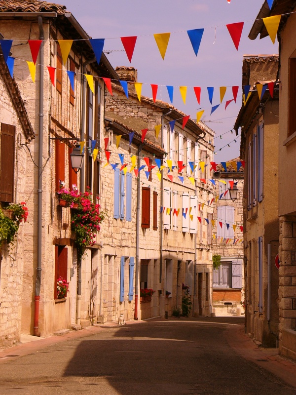
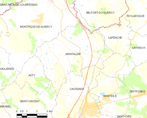
Montalzat (Montalzat)
- commune in Tarn-et-Garonne, France
- Country:

- Postal Code: 82270
- Coordinates: 44° 12' 30" N, 1° 30' 0" E


- GPS tracks (wikiloc): [Link]
- Area: 27.5 sq km
- Population: 663
- Wikipedia en: wiki(en)
- Wikipedia: wiki(fr)
- Wikidata storage: Wikidata: Q1431030
- Wikipedia Commons Category: [Link]
- Freebase ID: [/m/03qg0wl]
- Freebase ID: [/m/03qg0wl]
- GeoNames ID: Alt: [6445004]
- GeoNames ID: Alt: [6445004]
- SIREN number: [218201192]
- SIREN number: [218201192]
- BnF ID: [152777515]
- BnF ID: [152777515]
- PACTOLS thesaurus ID: [pcrtVGWNcrz1nx]
- PACTOLS thesaurus ID: [pcrtVGWNcrz1nx]
- INSEE municipality code: 82119
- INSEE municipality code: 82119
Shares border with regions:

Auty
- commune in Tarn-et-Garonne, France
- Country:

- Postal Code: 82220
- Coordinates: 44° 11' 28" N, 1° 28' 2" E


- GPS tracks (wikiloc): [Link]
- Area: 7.42 sq km
- Population: 150


Belfort-du-Quercy
- commune in Lot, France
- Country:

- Postal Code: 46230
- Coordinates: 44° 16' 6" N, 1° 32' 34" E


- GPS tracks (wikiloc): [Link]
- Area: 36.19 sq km
- Population: 505
Saint-Vincent-d'Autéjac
- commune in Tarn-et-Garonne, France
- Country:

- Postal Code: 82300
- Coordinates: 44° 9' 39" N, 1° 28' 17" E


- GPS tracks (wikiloc): [Link]
- Area: 16.27 sq km
- Population: 281
Lapenche
- commune in Tarn-et-Garonne, France
- Country:

- Postal Code: 82240
- Coordinates: 44° 13' 28" N, 1° 34' 34" E


- GPS tracks (wikiloc): [Link]
- Area: 8.11 sq km
- Population: 265


Caussade
- commune in Tarn-et-Garonne, France
- Country:

- Postal Code: 82300
- Coordinates: 44° 9' 42" N, 1° 32' 13" E


- GPS tracks (wikiloc): [Link]
- Area: 45.73 sq km
- Population: 6841
- Web site: [Link]


Montpezat-de-Quercy
- commune in Tarn-et-Garonne, France
- Country:

- Postal Code: 82270
- Coordinates: 44° 14' 18" N, 1° 28' 35" E


- GPS tracks (wikiloc): [Link]
- Area: 44.02 sq km
- Population: 1552
- Web site: [Link]
