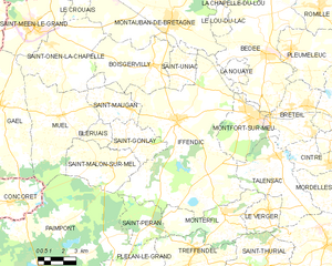
Montauban-de-Bretagne (Montauban-de-Bretagne)

- commune in Ille-et-Vilaine, France
- Country:

- Postal Code: 35360
- Coordinates: 48° 11' 57" N, 2° 2' 53" E


- GPS tracks (wikiloc): [Link]
- Area: 45.42 sq km
- Population: 5747
- Web site: http://www.montauban-de-bretagne.fr/
- Wikipedia en: wiki(en)
- Wikipedia: wiki(fr)
- Wikidata storage: Wikidata: Q162569
- Wikipedia Commons Category: [Link]
- Freebase ID: [/m/02vxmbz]
- Freebase ID: [/m/02vxmbz]
- GeoNames ID: Alt: [6432757]
- GeoNames ID: Alt: [6432757]
- SIREN number: [213501844]
- SIREN number: [213501844]
- BnF ID: [131233628]
- BnF ID: [131233628]
- VIAF ID: Alt: [147598772]
- VIAF ID: Alt: [147598772]
- OSM relation ID: [9165456]
- OSM relation ID: [9165456]
- GND ID: Alt: [4298646-1]
- GND ID: Alt: [4298646-1]
- Library of Congress authority ID: Alt: [n85116660]
- Library of Congress authority ID: Alt: [n85116660]
- MusicBrainz area ID: [df6165f9-cc18-4205-b8f0-dedc74d537a2]
- MusicBrainz area ID: [df6165f9-cc18-4205-b8f0-dedc74d537a2]
- INSEE municipality code: 35184
- INSEE municipality code: 35184
- GNS Unique Feature ID: -1452425
- GNS Unique Feature ID: -1452425
Shares border with regions:


Le Crouais
- commune in Ille-et-Vilaine, France
- Country:
- Postal Code: 35290
- Coordinates: 48° 12' 26" N, 2° 8' 19" E
- GPS tracks (wikiloc): [Link]
- Area: 6.25 sq km
- Population: 553
- Web site: [Link]


Saint-M'Hervon
- former commune in Ille-et-Vilaine, France
- Country:
- Postal Code: 35360
- Coordinates: 48° 13' 42" N, 2° 3' 32" E
- GPS tracks (wikiloc): [Link]
- Area: 2.46 sq km
- Population: 557

Landujan
- commune in Ille-et-Vilaine, France
- Country:
- Postal Code: 35360
- Coordinates: 48° 15' 1" N, 1° 59' 47" E
- GPS tracks (wikiloc): [Link]
- Area: 14.32 sq km
- Population: 981

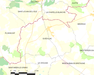
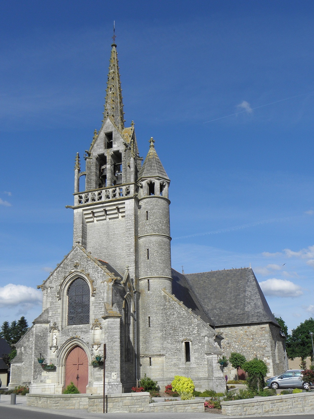
Quédillac
- commune in Ille-et-Vilaine, France
- Country:
- Postal Code: 35290
- Coordinates: 48° 14' 58" N, 2° 8' 33" E
- GPS tracks (wikiloc): [Link]
- Area: 26.54 sq km
- Population: 1185
- Web site: [Link]


Saint-Uniac
- commune in Ille-et-Vilaine, France
- Country:
- Postal Code: 35360
- Coordinates: 48° 10' 23" N, 2° 1' 43" E
- GPS tracks (wikiloc): [Link]
- Area: 6.89 sq km
- Population: 527

Bédée
- commune in Ille-et-Vilaine, France
- Country:
- Postal Code: 35137
- Coordinates: 48° 10' 46" N, 1° 56' 39" E
- GPS tracks (wikiloc): [Link]
- Area: 38.95 sq km
- Population: 4200
- Web site: [Link]

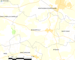
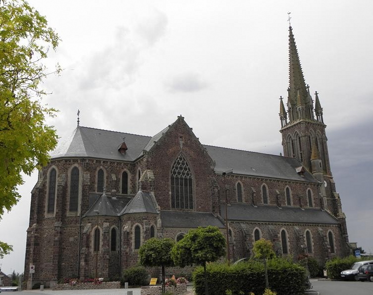
Boisgervilly
- commune in Ille-et-Vilaine, France
- Country:
- Postal Code: 35360
- Coordinates: 48° 10' 1" N, 2° 3' 50" E
- GPS tracks (wikiloc): [Link]
- Area: 19.95 sq km
- Population: 1625


Saint-Onen-la-Chapelle
- commune in Ille-et-Vilaine, France
- Country:
- Postal Code: 35290
- Coordinates: 48° 10' 37" N, 2° 10' 22" E
- GPS tracks (wikiloc): [Link]
- Area: 24.66 sq km
- Population: 1191
- Web site: [Link]

Iffendic
- commune in Ille-et-Vilaine, France
- Country:
- Postal Code: 35750
- Coordinates: 48° 7' 47" N, 2° 2' 5" E
- GPS tracks (wikiloc): [Link]
- Area: 73.66 sq km
- Population: 4456
- Web site: [Link]

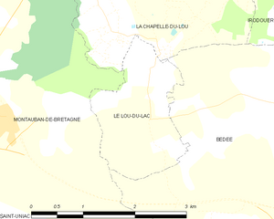
Le Lou-du-Lac
- former commune in Ille-et-Vilaine, France
- Country:
- Postal Code: 35360
- Coordinates: 48° 12' 34" N, 1° 59' 34" E
- GPS tracks (wikiloc): [Link]
- Area: 3.18 sq km
- Population: 103

Médréac
- commune in Ille-et-Vilaine, France
- Country:
- Postal Code: 35360
- Coordinates: 48° 16' 2" N, 2° 4' 2" E
- GPS tracks (wikiloc): [Link]
- Area: 35.02 sq km
- Population: 1810


La Chapelle-du-Lou
- former commune in Ille-et-Vilaine, France
- Country:
- Postal Code: 35360
- Coordinates: 48° 12' 46" N, 1° 59' 32" E
- GPS tracks (wikiloc): [Link]
- Area: 7.28 sq km
- Population: 895