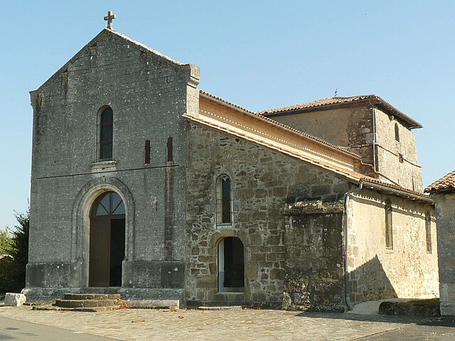
Montbron (Montbron)
- commune in Charente, France
- Country:

- Postal Code: 16220
- Coordinates: 45° 40' 2" N, 0° 30' 3" E


- GPS tracks (wikiloc): [Link]
- Area: 43.34 sq km
- Population: 2060
- Web site: http://www.montbron.fr
- Wikipedia en: wiki(en)
- Wikipedia: wiki(fr)
- Wikidata storage: Wikidata: Q901169
- Wikipedia Commons Category: [Link]
- Freebase ID: [/m/03mcc6h]
- GeoNames ID: Alt: [2992886]
- SIREN number: [211602230]
- BnF ID: [152486625]
- VIAF ID: Alt: [138351212]
- GND ID: Alt: [4560885-4]
- WOEID: [612395]
- INSEE municipality code: 16223
Shares border with regions:


Mazerolles
- commune in Charente, France
- Country:

- Postal Code: 16310
- Coordinates: 45° 44' 51" N, 0° 32' 2" E


- GPS tracks (wikiloc): [Link]
- AboveSeaLevel: 345 м m
- Area: 17.45 sq km
- Population: 324


Écuras
- commune in Charente, France
- Country:

- Postal Code: 16220
- Coordinates: 45° 41' 1" N, 0° 34' 1" E


- GPS tracks (wikiloc): [Link]
- Area: 24.22 sq km
- Population: 589


Rouzède
- commune in Charente, France
- Country:

- Postal Code: 16220
- Coordinates: 45° 42' 30" N, 0° 33' 16" E


- GPS tracks (wikiloc): [Link]
- Area: 14.33 sq km
- Population: 233
- Web site: [Link]


Eymouthiers
- commune in Charente, France
- Country:

- Postal Code: 16220
- Coordinates: 45° 38' 35" N, 0° 32' 34" E


- GPS tracks (wikiloc): [Link]
- Area: 8.68 sq km
- Population: 292


Orgedeuil
- commune in Charente, France
- Country:

- Postal Code: 16220
- Coordinates: 45° 41' 27" N, 0° 29' 33" E


- GPS tracks (wikiloc): [Link]
- Area: 10.39 sq km
- Population: 227


Feuillade
- commune in Charente, France
- Country:

- Postal Code: 16380
- Coordinates: 45° 36' 25" N, 0° 28' 18" E


- GPS tracks (wikiloc): [Link]
- Area: 21.83 sq km
- Population: 301


Varaignes
- commune in Dordogne, France
- Country:

- Postal Code: 24360
- Coordinates: 45° 35' 53" N, 0° 31' 51" E


- GPS tracks (wikiloc): [Link]
- Area: 16.6 sq km
- Population: 418


Saint-Sornin
- commune in Charente, France
- Country:

- Postal Code: 16220
- Coordinates: 45° 41' 37" N, 0° 26' 7" E


- GPS tracks (wikiloc): [Link]
- Area: 11.27 sq km
- Population: 830


Marthon
- commune in Charente, France
- Country:

- Postal Code: 16380
- Coordinates: 45° 36' 43" N, 0° 26' 40" E


- GPS tracks (wikiloc): [Link]
- Area: 12.82 sq km
- Population: 554
- Web site: [Link]


Vouthon
- commune in Charente, France
- Country:

- Postal Code: 16220
- Coordinates: 45° 40' 10" N, 0° 27' 40" E


- GPS tracks (wikiloc): [Link]
- Area: 10.38 sq km
- Population: 436
