Montcenis (Montcenis)

- commune in Saône-et-Loire, France
- Country:

- Postal Code: 71710
- Coordinates: 46° 47' 26" N, 4° 23' 20" E


- GPS tracks (wikiloc): [Link]
- Area: 12.33 sq km
- Population: 2182
- Web site: http://www.montcenis.ovh
- Wikipedia en: wiki(en)
- Wikipedia: wiki(fr)
- Wikidata storage: Wikidata: Q1424755
- Wikipedia Commons Category: [Link]
- Wikipedia Commons Maps Category: [Link]
- Freebase ID: [/m/03qh0r_]
- Freebase ID: [/m/03qh0r_]
- GeoNames ID: Alt: [6442329]
- GeoNames ID: Alt: [6442329]
- SIREN number: [217103092]
- SIREN number: [217103092]
- BnF ID: [15273280d]
- BnF ID: [15273280d]
- INSEE municipality code: 71309
- INSEE municipality code: 71309
Shares border with regions:


Les Bizots
- commune in Saône-et-Loire, France
- Country:
- Postal Code: 71710
- Coordinates: 46° 45' 5" N, 4° 23' 25" E
- GPS tracks (wikiloc): [Link]
- Area: 21.69 sq km
- Population: 465
- Web site: [Link]


Marmagne
- commune in Saône-et-Loire, France
- Country:
- Postal Code: 71710
- Coordinates: 46° 50' 15" N, 4° 21' 29" E
- GPS tracks (wikiloc): [Link]
- Area: 32.26 sq km
- Population: 1240


Torcy
- commune in Saône-et-Loire, France
- Country:
- Postal Code: 71210
- Coordinates: 46° 47' 1" N, 4° 26' 8" E
- GPS tracks (wikiloc): [Link]
- Area: 19.62 sq km
- Population: 3046
- Web site: [Link]
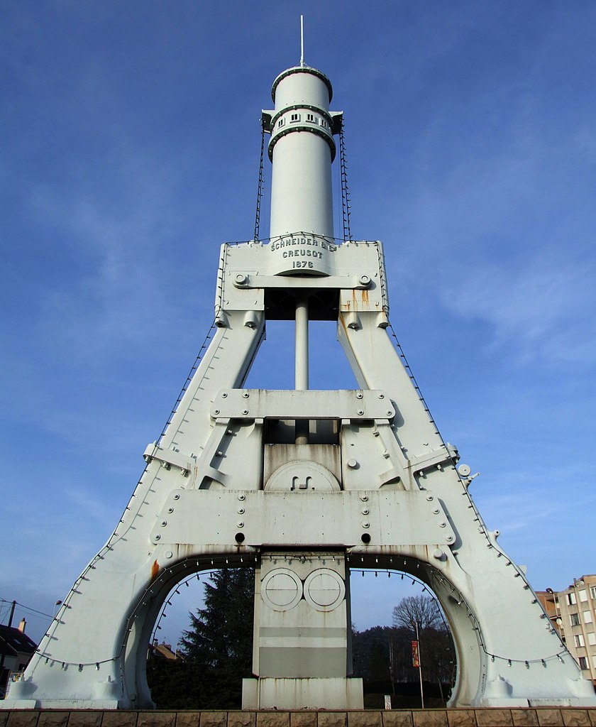

Le Creusot
- commune in Saône-et-Loire, France
- Country:
- Postal Code: 71200
- Coordinates: 46° 48' 2" N, 4° 26' 25" E
- GPS tracks (wikiloc): [Link]
- Area: 18.11 sq km
- Population: 21887
- Web site: [Link]


Charmoy, Saône-et-Loire
- commune in Saône-et-Loire, France
- Country:
- Postal Code: 71710
- Coordinates: 46° 45' 22" N, 4° 19' 59" E
- GPS tracks (wikiloc): [Link]
- AboveSeaLevel: 310 м m
- Area: 39.54 sq km
- Population: 253