Monterblanc (Monterblanc)

- commune in Morbihan, France
- Country:

- Postal Code: 56250
- Coordinates: 47° 44' 33" N, 2° 40' 55" E


- GPS tracks (wikiloc): [Link]
- Area: 25.41 sq km
- Population: 3267
- Web site: http://www.monterblanc.fr
- Wikipedia en: wiki(en)
- Wikipedia: wiki(fr)
- Wikidata storage: Wikidata: Q71088
- Wikipedia Commons Category: [Link]
- Freebase ID: [/m/03c77nh]
- GeoNames ID: Alt: [2992674]
- SIREN number: [215601378]
- BnF ID: [152653861]
- WOEID: [612547]
- INSEE municipality code: 56137
Shares border with regions:


Saint-Avé
- commune in Morbihan, Brittany
- Country:
- Postal Code: 56890
- Coordinates: 47° 41' 12" N, 2° 44' 4" E
- GPS tracks (wikiloc): [Link]
- Area: 26.09 sq km
- Population: 11095
- Web site: [Link]


Plaudren
- commune in Morbihan, France
- Country:
- Postal Code: 56420
- Coordinates: 47° 46' 44" N, 2° 41' 33" E
- GPS tracks (wikiloc): [Link]
- Area: 41.07 sq km
- Population: 1896
- Web site: [Link]


Saint-Nolff
- commune in Morbihan, France
- Country:
- Postal Code: 56250
- Coordinates: 47° 42' 13" N, 2° 39' 6" E
- GPS tracks (wikiloc): [Link]
- Area: 25.92 sq km
- Population: 3660
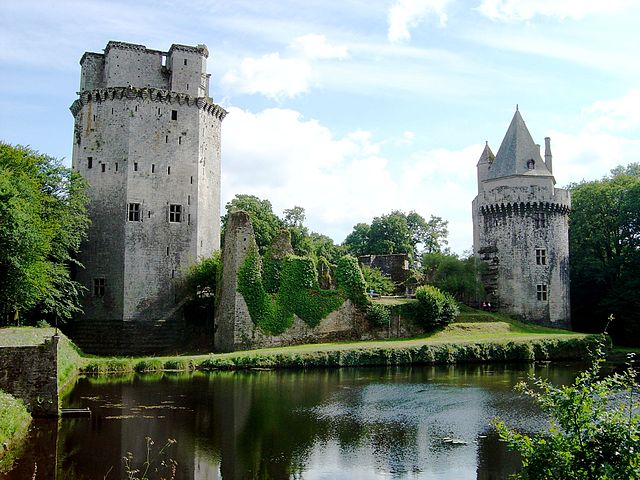

Elven
- commune in Morbihan, France
- Country:
- Postal Code: 56250
- Coordinates: 47° 43' 53" N, 2° 35' 26" E
- GPS tracks (wikiloc): [Link]
- Area: 64.05 sq km
- Population: 5718
- Web site: [Link]


Locqueltas
- commune in Morbihan, France
- Country:
- Postal Code: 56390
- Coordinates: 47° 45' 25" N, 2° 45' 58" E
- GPS tracks (wikiloc): [Link]
- AboveSeaLevel: 99 м m
- Area: 19.46 sq km
- Population: 1637