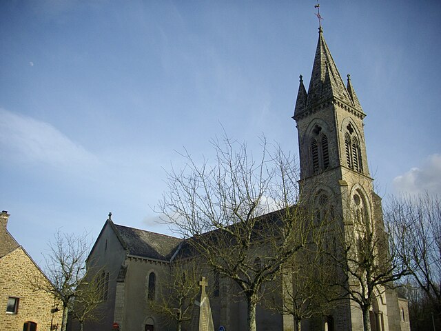
Plaudren (Plaudren)

- commune in Morbihan, France
- Country:

- Postal Code: 56420
- Coordinates: 47° 46' 44" N, 2° 41' 33" E


- GPS tracks (wikiloc): [Link]
- Area: 41.07 sq km
- Population: 1896
- Web site: http://www.plaudren.fr/index.php/
- Wikipedia en: wiki(en)
- Wikipedia: wiki(fr)
- Wikidata storage: Wikidata: Q128150
- Wikipedia Commons Category: [Link]
- Freebase ID: [/m/03c7f90]
- GeoNames ID: Alt: [6437330]
- SIREN number: [215601576]
- BnF ID: [15265406t]
- INSEE municipality code: 56157
Shares border with regions:


Saint-Jean-Brévelay
- commune in Morbihan, France
- Country:
- Postal Code: 56660
- Coordinates: 47° 50' 42" N, 2° 43' 20" E
- GPS tracks (wikiloc): [Link]
- Area: 41.83 sq km
- Population: 2770

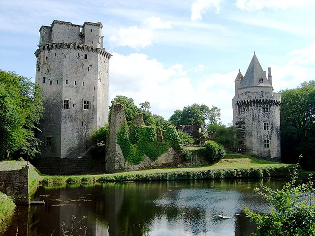
Trédion
- commune in Morbihan, France
- Country:
- Postal Code: 56250
- Coordinates: 47° 47' 33" N, 2° 35' 36" E
- GPS tracks (wikiloc): [Link]
- Area: 25.76 sq km
- Population: 1231


Plumelec
- commune in Morbihan, France
- Country:
- Postal Code: 56420
- Coordinates: 47° 50' 16" N, 2° 38' 27" E
- GPS tracks (wikiloc): [Link]
- Area: 58.36 sq km
- Population: 2680
- Web site: [Link]

Elven
- commune in Morbihan, France
- Country:
- Postal Code: 56250
- Coordinates: 47° 43' 53" N, 2° 35' 26" E
- GPS tracks (wikiloc): [Link]
- Area: 64.05 sq km
- Population: 5718
- Web site: [Link]


Locqueltas
- commune in Morbihan, France
- Country:
- Postal Code: 56390
- Coordinates: 47° 45' 25" N, 2° 45' 58" E
- GPS tracks (wikiloc): [Link]
- AboveSeaLevel: 99 м m
- Area: 19.46 sq km
- Population: 1637


Monterblanc
- commune in Morbihan, France
- Country:
- Postal Code: 56250
- Coordinates: 47° 44' 33" N, 2° 40' 55" E
- GPS tracks (wikiloc): [Link]
- Area: 25.41 sq km
- Population: 3267
- Web site: [Link]