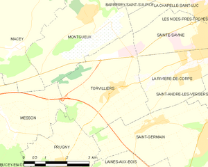
Montgueux (Montgueux)

- commune in Aube, France
- Country:

- Postal Code: 10300
- Coordinates: 48° 18' 20" N, 3° 57' 34" E


- GPS tracks (wikiloc): [Link]
- Area: 11.25 sq km
- Population: 407
- Wikipedia en: wiki(en)
- Wikipedia: wiki(fr)
- Wikidata storage: Wikidata: Q972036
- Wikipedia Commons Category: [Link]
- Freebase ID: [/m/03m8t6g]
- GeoNames ID: Alt: [6426480]
- SIREN number: [211002407]
- BnF ID: [15246340j]
- INSEE municipality code: 10248
Shares border with regions:


Barberey-Saint-Sulpice
- commune in Aube, France
- Country:
- Postal Code: 10600
- Coordinates: 48° 20' 16" N, 4° 1' 55" E
- GPS tracks (wikiloc): [Link]
- Area: 9.36 sq km
- Population: 1376
- Web site: [Link]


Saint-Lyé
- commune in Aube, France
- Country:
- Postal Code: 10600
- Coordinates: 48° 21' 49" N, 4° 0' 5" E
- GPS tracks (wikiloc): [Link]
- Area: 32.7 sq km
- Population: 2935


Macey
- commune in Aube, France
- Country:
- Postal Code: 10300
- Coordinates: 48° 17' 33" N, 3° 54' 55" E
- GPS tracks (wikiloc): [Link]
- Area: 20.46 sq km
- Population: 944


La Chapelle-Saint-Luc
- commune in Aube, France
- Country:
- Postal Code: 10600
- Coordinates: 48° 18' 43" N, 4° 2' 40" E
- GPS tracks (wikiloc): [Link]
- AboveSeaLevel: 100 м m
- Area: 10.48 sq km
- Population: 12471
- Web site: [Link]


Messon
- commune in Aube, France
- Country:
- Postal Code: 10190
- Coordinates: 48° 15' 54" N, 3° 54' 24" E
- GPS tracks (wikiloc): [Link]
- Area: 11.49 sq km
- Population: 467

Torvilliers
- commune in Aube, France
- Country:
- Postal Code: 10440
- Coordinates: 48° 16' 32" N, 3° 58' 34" E
- GPS tracks (wikiloc): [Link]
- Area: 12.11 sq km
- Population: 951
- Web site: [Link]