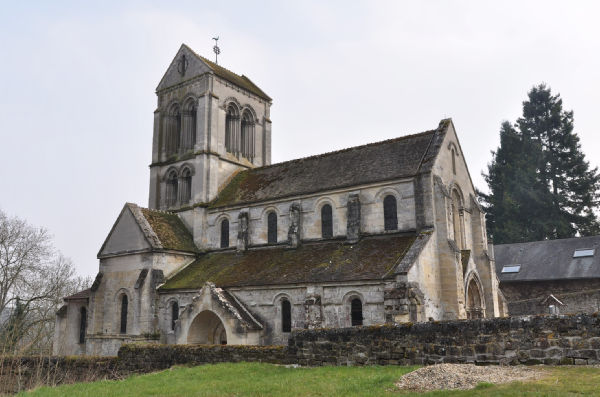
Monthenault (Monthenault)
- commune in Aisne, France
- Country:

- Postal Code: 02860
- Coordinates: 49° 29' 16" N, 3° 40' 1" E


- GPS tracks (wikiloc): [Link]
- Area: 2.94 sq km
- Population: 156
- Wikipedia en: wiki(en)
- Wikipedia: wiki(fr)
- Wikidata storage: Wikidata: Q870506
- Wikipedia Commons Category: [Link]
- Freebase ID: [/m/03m7nbz]
- Freebase ID: [/m/03m7nbz]
- GeoNames ID: Alt: [6425070]
- GeoNames ID: Alt: [6425070]
- SIREN number: [210204855]
- SIREN number: [210204855]
- INSEE municipality code: 02508
- INSEE municipality code: 02508
Shares border with regions:

Chamouille
- commune in Aisne, France
- Country:
- Postal Code: 02860
- Coordinates: 49° 28' 27" N, 3° 39' 56" E
- GPS tracks (wikiloc): [Link]
- Area: 3.34 sq km
- Population: 291
Lierval
- commune in Aisne, France
- Country:
- Postal Code: 02860
- Coordinates: 49° 29' 3" N, 3° 37' 0" E
- GPS tracks (wikiloc): [Link]
- Area: 3.77 sq km
- Population: 113

Colligis-Crandelain
- commune in Aisne, France
- Country:
- Postal Code: 02860
- Coordinates: 49° 28' 33" N, 3° 38' 25" E
- GPS tracks (wikiloc): [Link]
- Area: 6.53 sq km
- Population: 233

Bruyères-et-Montbérault
- commune in Aisne, France
- Country:
- Postal Code: 02860
- Coordinates: 49° 31' 28" N, 3° 39' 49" E
- GPS tracks (wikiloc): [Link]
- AboveSeaLevel: 86 м m
- Area: 11.61 sq km
- Population: 1532
- Web site: [Link]

Presles-et-Thierny
- commune in Aisne, France
- Country:
- Postal Code: 02860
- Coordinates: 49° 30' 28" N, 3° 37' 37" E
- GPS tracks (wikiloc): [Link]
- Area: 8.33 sq km
- Population: 390

Pancy-Courtecon
- commune in Aisne, France
- Country:
- Postal Code: 02860
- Coordinates: 49° 28' 25" N, 3° 39' 15" E
- GPS tracks (wikiloc): [Link]
- Area: 6.37 sq km
- Population: 60