Pancy-Courtecon (Pancy-Courtecon)
- commune in Aisne, France
- Country:

- Postal Code: 02860
- Coordinates: 49° 28' 25" N, 3° 39' 15" E


- GPS tracks (wikiloc): [Link]
- Area: 6.37 sq km
- Population: 60
- Wikipedia en: wiki(en)
- Wikipedia: wiki(fr)
- Wikidata storage: Wikidata: Q870197
- Wikipedia Commons Category: [Link]
- Freebase ID: [/m/03m7p52]
- Freebase ID: [/m/03m7p52]
- GeoNames ID: Alt: [2988651]
- GeoNames ID: Alt: [2988651]
- SIREN number: [210205605]
- SIREN number: [210205605]
- INSEE municipality code: 02583
- INSEE municipality code: 02583
Shares border with regions:

Braye-en-Laonnois
- commune in Aisne, France
- Country:
- Postal Code: 02000
- Coordinates: 49° 26' 28" N, 3° 36' 29" E
- GPS tracks (wikiloc): [Link]
- Area: 8.09 sq km
- Population: 219

Chamouille
- commune in Aisne, France
- Country:
- Postal Code: 02860
- Coordinates: 49° 28' 27" N, 3° 39' 56" E
- GPS tracks (wikiloc): [Link]
- Area: 3.34 sq km
- Population: 291
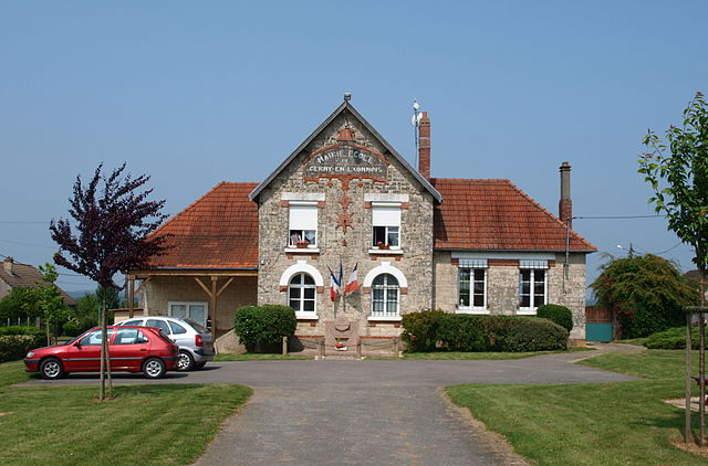
Cerny-en-Laonnois
- commune in Aisne, France
- Country:
- Postal Code: 02860
- Coordinates: 49° 26' 36" N, 3° 40' 4" E
- GPS tracks (wikiloc): [Link]
- Area: 7.22 sq km
- Population: 67

Colligis-Crandelain
- commune in Aisne, France
- Country:
- Postal Code: 02860
- Coordinates: 49° 28' 33" N, 3° 38' 25" E
- GPS tracks (wikiloc): [Link]
- Area: 6.53 sq km
- Population: 233


Vendresse-Beaulne
- commune in Aisne, France
- Country:
- Postal Code: 02160
- Coordinates: 49° 25' 38" N, 3° 40' 2" E
- GPS tracks (wikiloc): [Link]
- Area: 8.71 sq km
- Population: 111

Monthenault
- commune in Aisne, France
- Country:
- Postal Code: 02860
- Coordinates: 49° 29' 16" N, 3° 40' 1" E
- GPS tracks (wikiloc): [Link]
- Area: 2.94 sq km
- Population: 156