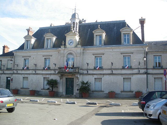
Montlhéry (Montlhéry)

- commune in Essonne, France
- Country:

- Postal Code: 91310
- Coordinates: 48° 38' 19" N, 2° 16' 20" E


- GPS tracks (wikiloc): [Link]
- Area: 3.28 sq km
- Population: 7546
- Web site: http://www.ville-montlhery.fr
- Wikipedia en: wiki(en)
- Wikipedia: wiki(fr)
- Wikidata storage: Wikidata: Q250024
- Wikipedia Commons Category: [Link]
- Freebase ID: [/m/04vd0y]
- Freebase ID: [/m/04vd0y]
- GeoNames ID: Alt: [2992309]
- GeoNames ID: Alt: [2992309]
- SIREN number: [219104254]
- SIREN number: [219104254]
- BnF ID: [152801662]
- BnF ID: [152801662]
- VIAF ID: Alt: [167806222]
- VIAF ID: Alt: [167806222]
- Library of Congress authority ID: Alt: [n90713329]
- Library of Congress authority ID: Alt: [n90713329]
- MusicBrainz area ID: [721f7bb0-c9da-485c-9373-a447b9aad4b2]
- MusicBrainz area ID: [721f7bb0-c9da-485c-9373-a447b9aad4b2]
- Quora topic ID: [Montlhéry]
- Quora topic ID: [Montlhéry]
- INSEE municipality code: 91425
- INSEE municipality code: 91425
Shares border with regions:

Longpont-sur-Orge
- commune in Essonne, France
- Country:
- Postal Code: 91310
- Coordinates: 48° 38' 34" N, 2° 17' 30" E
- GPS tracks (wikiloc): [Link]
- Area: 5.05 sq km
- Population: 6432
- Web site: [Link]
Linas
- commune in Essonne, France
- Country:
- Postal Code: 91310
- Coordinates: 48° 38' 0" N, 2° 16' 2" E
- GPS tracks (wikiloc): [Link]
- Area: 7.51 sq km
- Population: 6874
- Web site: [Link]

Nozay
- commune in Essonne, France
- Country:
- Postal Code: 91620
- Coordinates: 48° 39' 37" N, 2° 14' 34" E
- GPS tracks (wikiloc): [Link]
- Area: 7.34 sq km
- Population: 4780
- Web site: [Link]

Marcoussis
- commune in Essonne, France
- Country:
- Postal Code: 91460
- Coordinates: 48° 38' 30" N, 2° 13' 47" E
- GPS tracks (wikiloc): [Link]
- Area: 16.8 sq km
- Population: 8132
- Web site: [Link]

La Ville-du-Bois
- commune in Essonne, France
- Country:
- Postal Code: 91620
- Coordinates: 48° 39' 38" N, 2° 16' 9" E
- GPS tracks (wikiloc): [Link]
- Area: 3.62 sq km
- Population: 7364
- Web site: [Link]