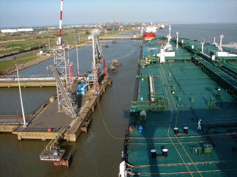
Montoir-de-Bretagne (Montoir-de-Bretagne)

- commune in Loire-Atlantique, France
- Country:

- Postal Code: 44550
- Coordinates: 47° 19' 42" N, 2° 8' 57" E


- GPS tracks (wikiloc): [Link]
- Area: 36.79 sq km
- Population: 7058
- Web site: http://www.montoirdebretagne.fr
- Wikipedia en: wiki(en)
- Wikipedia: wiki(fr)
- Wikidata storage: Wikidata: Q1065409
- Wikipedia Commons Category: [Link]
- Freebase ID: [/m/03nwd3t]
- Freebase ID: [/m/03nwd3t]
- GeoNames ID: Alt: [2992206]
- GeoNames ID: Alt: [2992206]
- SIREN number: [214401036]
- SIREN number: [214401036]
- BnF ID: [15260272v]
- BnF ID: [15260272v]
- VIAF ID: Alt: [146709042]
- VIAF ID: Alt: [146709042]
- PACTOLS thesaurus ID: [pcrtFeZw3fseHu]
- PACTOLS thesaurus ID: [pcrtFeZw3fseHu]
- INSEE municipality code: 44103
- INSEE municipality code: 44103
Shares border with regions:


Trignac
- commune in Loire-Atlantique, France
- Country:
- Postal Code: 44570
- Coordinates: 47° 19' 5" N, 2° 11' 21" E
- GPS tracks (wikiloc): [Link]
- Area: 14.38 sq km
- Population: 7636
- Web site: [Link]


Saint-Joachim
- commune in Loire-Atlantique, France
- Country:
- Postal Code: 44720
- Coordinates: 47° 22' 56" N, 2° 12' 3" E
- GPS tracks (wikiloc): [Link]
- Area: 86.22 sq km
- Population: 3934
- Web site: [Link]


Saint-Nazaire
- commune in Loire-Atlantique, France
- Country:
- Postal Code: 44600
- Coordinates: 47° 16' 46" N, 2° 12' 36" E
- GPS tracks (wikiloc): [Link]
- Area: 46.79 sq km
- Population: 69784
- Web site: [Link]

Donges
- commune in Loire-Atlantique, France
- Country:
- Postal Code: 44480
- Coordinates: 47° 19' 6" N, 2° 4' 31" E
- GPS tracks (wikiloc): [Link]
- Area: 48.5 sq km
- Population: 7699
- Web site: [Link]
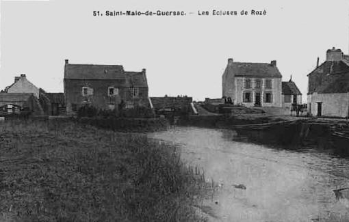

Saint-Malo-de-Guersac
- commune in Loire-Atlantique, France
- Country:
- Postal Code: 44550
- Coordinates: 47° 21' 3" N, 2° 10' 47" E
- GPS tracks (wikiloc): [Link]
- Area: 14.62 sq km
- Population: 3181
- Web site: [Link]