Montredon (Montredon)

- commune in Lot, France
- Country:

- Postal Code: 46270
- Coordinates: 44° 37' 5" N, 2° 11' 29" E


- GPS tracks (wikiloc): [Link]
- Area: 11.78 sq km
- Population: 291
- Wikipedia en: wiki(en)
- Wikipedia: wiki(fr)
- Wikidata storage: Wikidata: Q1322349
- Wikipedia Commons Category: [Link]
- Freebase ID: [/m/03nwkc_]
- GeoNames ID: Alt: [6454172]
- SIREN number: [214602070]
- BnF ID: [15260948x]
- INSEE municipality code: 46207
Shares border with regions:

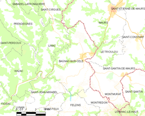
Bagnac-sur-Célé
- commune in Lot, France
- Country:
- Postal Code: 46270
- Coordinates: 44° 39' 59" N, 2° 9' 30" E
- GPS tracks (wikiloc): [Link]
- AboveSeaLevel: 234 м m
- Area: 22.29 sq km
- Population: 1504
- Web site: [Link]

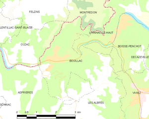
Bouillac
- commune in Aveyron, France
- Country:
- Postal Code: 12300
- Coordinates: 44° 34' 28" N, 2° 9' 46" E
- GPS tracks (wikiloc): [Link]
- AboveSeaLevel: 188 м m
- Area: 8.2 sq km
- Population: 428

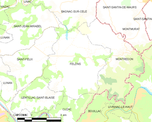
Felzins
- commune in Lot, France
- Country:
- Postal Code: 46270
- Coordinates: 44° 36' 15" N, 2° 8' 6" E
- GPS tracks (wikiloc): [Link]
- Area: 15 sq km
- Population: 428
Montmurat
- commune in Cantal, France
- Country:
- Postal Code: 15600
- Coordinates: 44° 37' 45" N, 2° 12' 5" E
- GPS tracks (wikiloc): [Link]
- Area: 5.07 sq km
- Population: 132
- Web site: [Link]


Livinhac-le-Haut
- commune in Aveyron, France
- Country:
- Postal Code: 12300
- Coordinates: 44° 35' 29" N, 2° 14' 3" E
- GPS tracks (wikiloc): [Link]
- Area: 10.97 sq km
- Population: 1174
- Web site: [Link]


Saint-Santin-de-Maurs
- commune in Cantal, France
- Country:
- Postal Code: 15600
- Coordinates: 44° 39' 3" N, 2° 12' 58" E
- GPS tracks (wikiloc): [Link]
- Area: 14.52 sq km
- Population: 365