Montreuil-sur-Loir (Montreuil-sur-Loir)

- commune in Maine-et-Loire, France
- Country:

- Postal Code: 49140
- Coordinates: 47° 36' 28" N, 0° 24' 15" E


- GPS tracks (wikiloc): [Link]
- Area: 11.99 sq km
- Population: 548
- Wikipedia en: wiki(en)
- Wikipedia: wiki(fr)
- Wikidata storage: Wikidata: Q963562
- Wikipedia Commons Category: [Link]
- Freebase ID: [/m/03w9jwr]
- GeoNames ID: Alt: [6435248]
- SIREN number: [214902165]
- BnF ID: [152618168]
- INSEE municipality code: 49216
Shares border with regions:
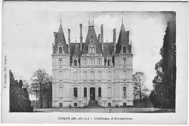

Corzé
- commune in Maine-et-Loire, France
- Country:
- Postal Code: 49140
- Coordinates: 47° 33' 35" N, 0° 23' 28" E
- GPS tracks (wikiloc): [Link]
- Area: 31.49 sq km
- Population: 1796
- Web site: [Link]
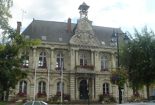
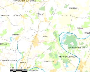
Tiercé
- commune in Maine-et-Loire, France
- Country:
- Postal Code: 49125
- Coordinates: 47° 36' 54" N, 0° 28' 3" E
- GPS tracks (wikiloc): [Link]
- Area: 33.7 sq km
- Population: 4323
- Web site: [Link]


Soucelles
- commune in Maine-et-Loire, France
- Country:
- Postal Code: 49140
- Coordinates: 47° 34' 8" N, 0° 25' 6" E
- GPS tracks (wikiloc): [Link]
- Area: 19.2 sq km
- Population: 2572
- Web site: [Link]


Seiches-sur-le-Loir
- commune in Maine-et-Loire, France
- Country:
- Postal Code: 49140
- Coordinates: 47° 34' 25" N, 0° 21' 23" E
- GPS tracks (wikiloc): [Link]
- Area: 28.83 sq km
- Population: 2982
- Web site: [Link]